

Pennsylvania map
Luzerne County map
About 331,379 people live here (Census Bureau, 2024 estimate). The sheet's index lists 5 streets; Z. H. Confair Memorial Highway, Pennsylvania Turnpike Northeast Extension and South Cross Valley Expressway cross the most grid squares. Things to do inside the boundary: Visit Luzerne County.
Open the map (PDF, US Letter)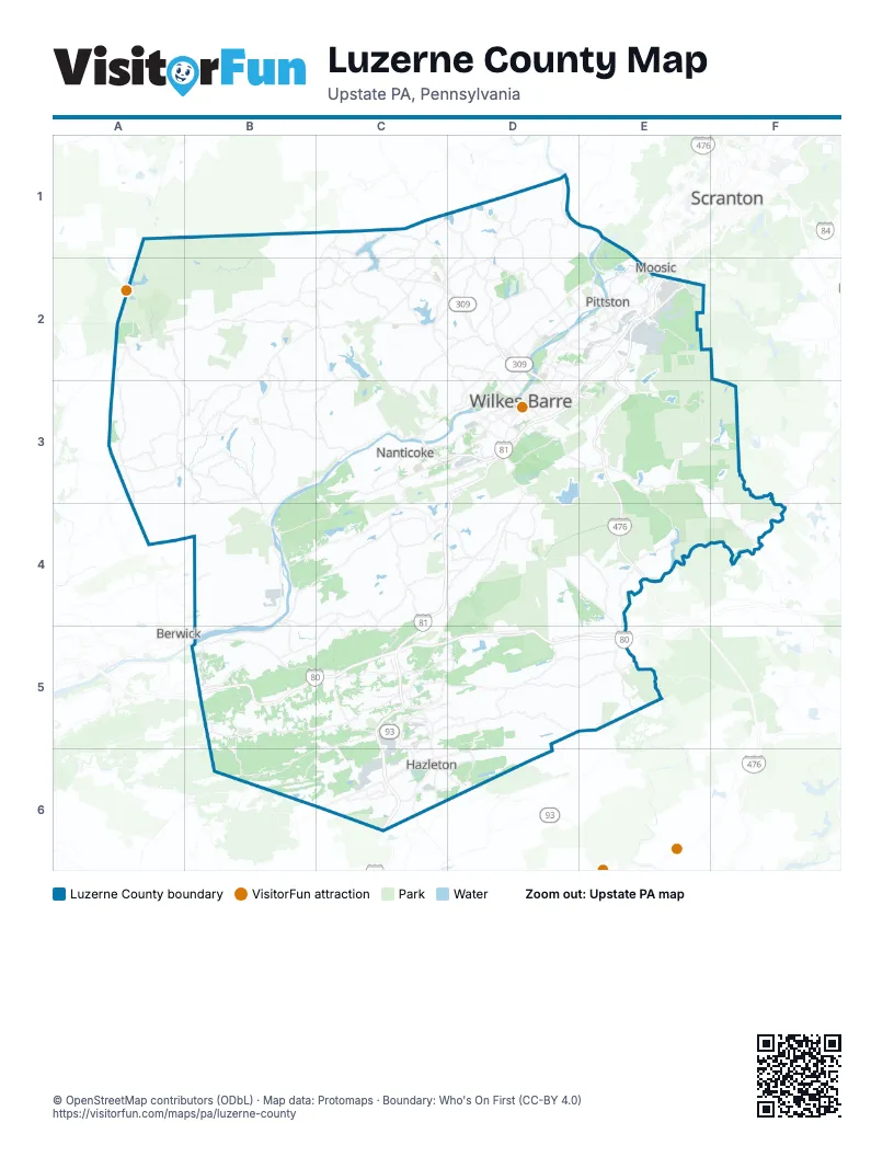
Street index of Luzerne County
Each street on the sheet and the grid squares it crosses.
- Pennsylvania Turnpike Northeast ExtensionE2, E3, E4
- South Cross Valley ExpresswayC3, D3
- North Cross Valley ExpresswayD3
- East End BoulevardE3
- Z. H. Confair Memorial HighwayB5, C5, D5, E5
Things to do on the Luzerne County map
Places on the map
- Ashley
- Audubon Loop Trail
- Avoca
- Back Mountain
- Bald Mountain Preserve
- Bear Creek Lake
- Bear Creek Preserve
- Bear Creek Township
- Beaver Dam Swamp
- Black Creek Township
- Blue Ridge Trail Golf Club
- Blueberry Hill Estates
- Buck Township
- Butler Industrial Park
- Butler Preserve
- Butler Township
- Conyngham
- Conyngham Township
- Courtdale
- Crystal Lake
- Dallas
- Dallas Township
- Dennison Township
- Dorrance Township
- Dreck Creek Reservoir
- Dry Land Hill Parcel
- Dupont
- Duryea
- Eagle Rock Ski Resort
- East Berwick
- Edgewood in the Pines
- Edwardsville
- Exeter
- Exeter Township
- Fairmount Township
- Fairview Township
- Fairway Estates
- Forty Fort
- Foster Township
- Fox Hill Country Club
Next to Luzerne County
- Berwick
- Dunmore
- Moosic
- Scranton
© OpenStreetMap contributors (ODbL) · Map data: Protomaps · Boundary: Who's On First (CC-BY 4.0)