

Pennsylvania map
Westmoreland County map
About 350,935 people live here (Census Bureau, 2024 estimate). The sheet's index lists 7 streets; Pennsylvania Turnpike, Amos K. Hutchinson Bypass and Dwight D Eisenhower Highway cross the most grid squares. Things to do inside the boundary: Idlewild & SoakZone.
Open the map (PDF, US Letter)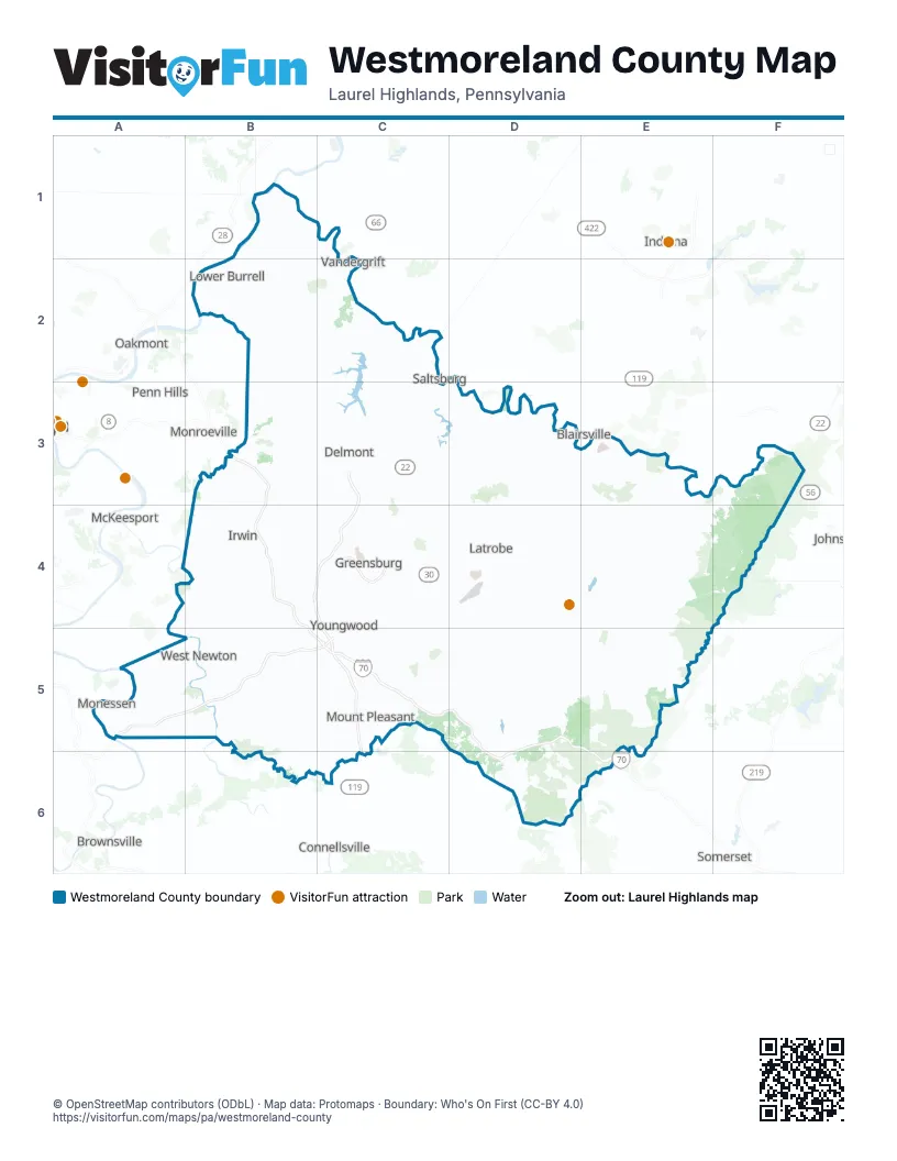
Street index of Westmoreland County
Each street on the sheet and the grid squares it crosses.
- Pennsylvania TurnpikeB3, B4, B5, C5, D5, E5, D6, E6
- Amos K. Hutchinson BypassC3, B4, C4, C5
- Lincoln HighwayC4
- Dwight D Eisenhower HighwayA5, B5, C5
- Matthew Smelser Memorial BridgeB5
- Amos K Hutchinson BypassC5, C6
- New Stanton–Youngwood RoadC5
Things to do on the Westmoreland County map
Places on the map
- Adamsburg
- ADESA Pittsburgh
- Alcoa Technical Center
- Allegheny Ludlum
- Allegheny Township
- Arnold
- Arona
- Avonmore
- Beaver Run Reservoir
- Bell Township
- Bolivar
- Bow Ridge
- Braddock's Trail Park
- Cedar Creek Park
- Cedarbrook Golf Course
- Cloverleaf Golf Course
- Cook Township
- Crabtree
- Delmont
- Derry
- Derry Township
- Donegal
- Donegal Lake
- Donegal Township
- Duff Park
- East Huntingdon Township
- East Vandergrift
- Elks Golf Club
- Export
- Fairfield Township
- Forbes State Forest
- FRX
- Glengarry Golf Links
- Grapeville
- Greensburg
- Greensburg Country Club
- Grove Run Trail
- Hannastown Golf Club
- Hempfield Township
Next to Westmoreland County
- Blairsville
- Brownsville
- Connellsville
- Indiana
- McKeesport
- Monroeville
- Oakmont
- Penn Hills
- Plum
- Saltsburg
- Somerset
© OpenStreetMap contributors (ODbL) · Map data: Protomaps · Boundary: Who's On First (CC-BY 4.0)