

South Carolina map
Spartanburg County map
About 369,256 people live here (Census Bureau, 2024 estimate). The sheet's index lists Veterans Parkway and North Pine Street. Also on it: Abney Mills, Adidas and Alder Pond.
Open the map (PDF, US Letter)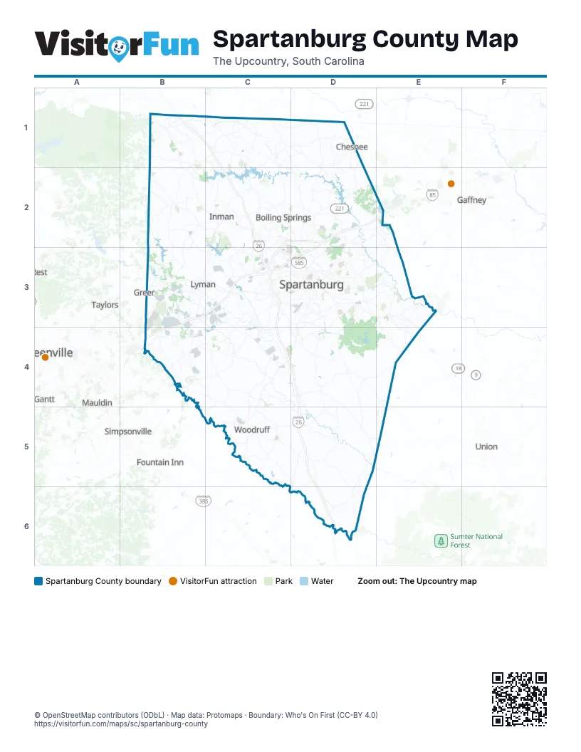
Street index of Spartanburg County
Each street on the sheet and the grid squares it crosses.
- Veterans ParkwayD2, C3, D3
- North Pine StreetC3, D3
Places on the map
- Abney Mills
- Adidas
- Alder Pond
- Allen Acres
- Allgood Estates
- Anderson Grant
- Andrews Farm
- Apalache
- Apalachee Lake
- Applewood
- Ashby Woods
- Auriga Polymers
- Autumn Glen
- Avalon Estate
- Barcliff Acres
- Baxter Village
- Beaumont Village
- Belue Farms
- Benjamin's Grove
- Bent Creek Plantation
- Berkeley
- Berry Farm
- Berry Shoals Pond
- Berry's Pond
- Birchwood Estates
- BMW Battery Plant
- BMW Group Plant Spartanburg
- BMW Test Track
- Boiling Springs
- Bon Aire Estate
- Bondale
- Bridle Path
- Bright Farms
- Brookhaven
- Brookside Village
- Brownstone
- Bush Farms
- Cades Creek
- Cambridge
- Camelot
Next to Spartanburg County
- Five Forks
- Fountain Inn
- Gaffney
- Gantt
- Greenville
- Greer
- Mauldin
- Simpsonville
- Taylors
- Union
- Wade Hampton
© OpenStreetMap contributors (ODbL) · Map data: Protomaps · Boundary: Who's On First (CC-BY 4.0)