

Texas map
Ellis County map
About 232,387 people live here (Census Bureau, 2024 estimate). The sheet's index lists 3 streets; Congressman Joe Barton Parkway, Senator Chris Harris Memorial Highway and South J Elmer Weaver Freeway cross the most grid squares. Things to do inside the boundary: Ennis and Waxahachie.
Open the map (PDF, US Letter)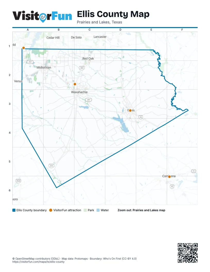
Street index of Ellis County
Each street on the sheet and the grid squares it crosses.
- Senator Chris Harris Memorial HighwayA1
- South J Elmer Weaver FreewayB1
- Congressman Joe Barton ParkwayD3, D4, E4
Things to do on the Ellis County map
Places on the map
- Alma
- Autumn Run
- Bardwell
- Bardwell Lake
- Bennett Ranch
- Bentley Creek Estates
- Bison Meadow
- Bluebonnet Estates
- Bluestem Hills
- Brookbend Grove
- Bryson Manor
- Buffalo Creek Wetland
- Buffalo Ridge
- Byrum Ranch
- Camden Park
- Compass Data Center
- Country Meadows Estates
- Coventry Crossing
- Creekview Hills
- Cutoff Slough
- Diamondcrest
- Dorchester Place
- Dove Creek
- ECD Landfill
- Edgewood Estates
- Ellis County
- Ellis County Farm
- Ellis Ranch Estates North
- Ellis Ranch Estates South
- Ellis Ranch Manors
- Ennis
- Ferris
- Ferris Ranch
- Forreston
- Garrett
- Glenn Heights
- Google Data Center
- Greenway Trails
- Hartson Estates
- Hawkins Meadows
Next to Ellis County
- Cedar Hill
- Corsicana
- De Soto
- Lancaster
- Venus
© OpenStreetMap contributors (ODbL) · Map data: Protomaps · Boundary: Who's On First (CC-BY 4.0)