

Utah map
Davis County map
About 378,470 people live here (Census Bureau, 2024 estimate). The sheet's index lists 6 streets; Veterans Memorial Highway, West Davis Corridor and Legacy Parkway cross the most grid squares. Things to do inside the boundary: Antelope Island State Park, Hill Aerospace Museum and Lagoon.
Open the map (PDF, US Letter)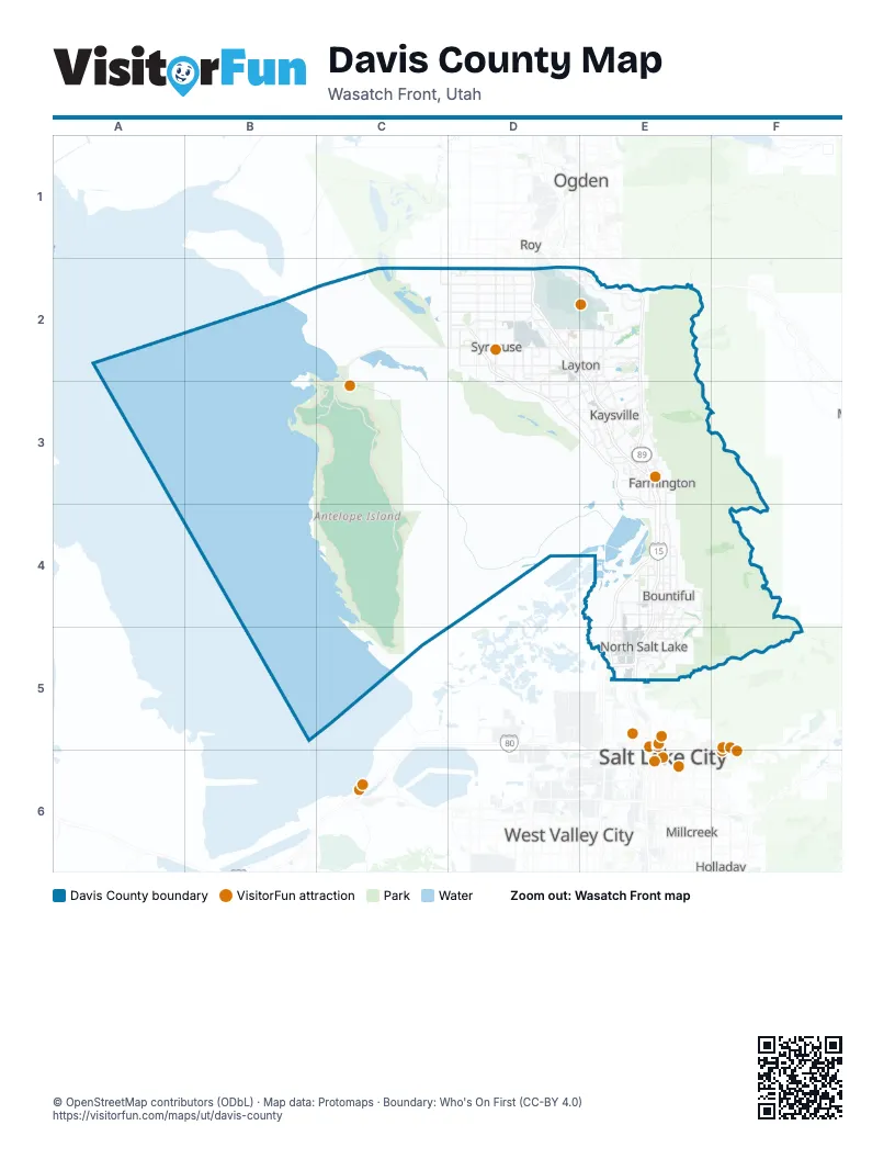
Street index of Davis County
Each street on the sheet and the grid squares it crosses.
- Veterans Memorial HighwayD2, E2, E3, E4, E5
- West Davis CorridorD2, D3, E3, E4
- Highway 193 ExitE2
- Oak Hills Drive ExitE2, E3
- Legacy ParkwayE3, E4, E5
- Belt RouteE5
Things to do on the Davis County map
Places on the map
- Ammunition Storage Area
- Antelope Island Bison Corrals
- Antelope Island State Park
- Bountiful Hills Estates
- Bountiful Ridge Golf Course
- Bountiful Ridges
- Bridger Bay Campground
- Bridlewood
- Buffalo Point Ward
- Camelot
- Canyon Crest
- Centerville
- Chelsea Cove
- Chevron Salt Lake Refinery
- Clearfield
- Clinton
- Crane Field Golf Course
- Creekwood of Indian Springs
- Davis County
- Davis County Landfill
- Davis Park Golf Course
- Eaglewood Golf Course
- East Mountain Wilderness Park
- Farmington
- Foxboro
- Freeport Center
- Fruit Heights
- Glen Eagle Golf Club
- Granada Hills
- Haight Creek Nature Trail
- Highland Oaks
- Hill Air Force Base
- Howard Slough Waterfowl Management Area
- Irfred Park
- John Bitner MD Plastic Surgery
- Kay's Creek Parkway
- Kaysville
- La Donna Mesa
- Lagoon
- Lakeside Golf Course
Next to Davis County
- Holladay
- Magna
- Millcreek
- Ogden
- Roy
- Salt Lake City map
- South Ogden
- Taylorsville
- West Valley City
© OpenStreetMap contributors (ODbL) · Map data: Protomaps · Boundary: Who's On First (CC-BY 4.0)