

Washington map
Clark County map
About 527,269 people live here (Census Bureau, 2024 estimate). The sheet's index lists 4 streets; Southeast Lewis and Clark Highway, Interstate Bridge and Falk Road cross the most grid squares. Things to do inside the boundary: Bungee Masters, Downtown Camas and Fort Vancouver National Historic Site.
Open the map (PDF, US Letter)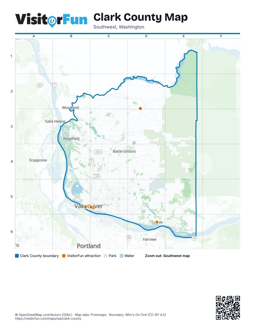
Street index of Clark County
Each street on the sheet and the grid squares it crosses.
- Interstate BridgeB5
- Falk RoadC5
- Southeast Lewis and Clark HighwayC5, C6, D6
- Glenn L. Jackson Memorial BridgeC6
Things to do on the Clark County map
Places on the map
- 78th Street Heritage Farm
- Ackerman Island
- Airport Green
- Amboy
- Andresen/Saint Johns
- Arnada
- Bagley Downs
- Barberton
- Battle Ground
- Bella Vista
- Brush Prairie
- Burnt Bridge Creek Greenway
- Burton Evergreen
- Burton Ridge
- Camas
- Camas Meadows
- Camp Bonneville
- Camp Curie Park
- Campbell Lake
- Canvasback Lake
- Captain William Clark Park
- Carter Park
- Carty Lake
- Cascade Highlands
- Caterpillar Island
- Cedar Creek Wildlife Area
- Cemex Lewisville Rock Quarry
- Cemex Orchards Facility
- Centennial Industrial Park
- Central Park
- Cherry Grove
- CJ Dens Open Space
- Clark County
- Clark County Fairgrounds
- Columbia Business Center
- Columbia River
- Columbia Springs
- Columbia Tech Center
- Columbia Way
- Cougar Creek Greenway
Next to Clark County
- Fairview
- Portland
- Saint Helens
- Scappoose
- Woodland
© OpenStreetMap contributors (ODbL) · Map data: Protomaps · Boundary: Who's On First (CC-BY 4.0)