

Wisconsin map
Brown County map
About 273,909 people live here (Census Bureau, 2024 estimate). The sheet's index lists 3 streets; Leo Frigo Bridge, State Highway 29 and Airport Drive cross the most grid squares. Things to do inside the boundary: Lambeau Field and National Railroad Museum.
Open the map (PDF, US Letter)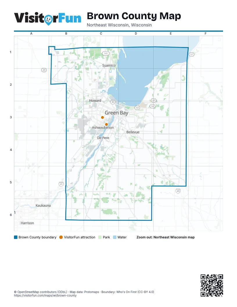
Street index of Brown County
Each street on the sheet and the grid squares it crosses.
- State Highway 29B2
- Airport DriveC3
- Leo Frigo BridgeC3, D3
Things to do on the Brown County map
Places on the map
- Allouez
- Ashwaubenon
- Ashwaubomay Memorial Park
- Astor
- Astor East
- Aurora BayCare Medical Center
- Baird Creek Greenway
- Barkhausen Waterfowl Preserve
- Bay Beach Wildlife Sanctuary
- Bay Park Square Mall
- Bayshore County Park
- Bellevue
- Brown County
- Brown County Golf Course
- Brown County Sportsmens Club
- Cat Island Chain
- Cofrin Arboretum
- Colburn
- De Pere
- Denmark
- Detention Pond
- Downtown
- East Shore Drive
- Firemans Park
- Fort Howard
- Fort Howard Wildlife Area
- Fritsch Park
- Future Brown County Landfill
- Green Bay
- Green Bay Country Club
- Greenleaf
- Hilly Haven Golf Course
- Hobart
- Holland State Wildlife Area
- Howard
- J P Pulliam Power Plant
- Joannes Park
- John Muir Park
- Ken Euers Nature Area
- King of Arms
Next to Brown County
- Harrison
- Kaukauna
- Little Chute
© OpenStreetMap contributors (ODbL) · Map data: Protomaps · Boundary: Who's On First (CC-BY 4.0)