

Wisconsin map
Town of Nasewaupee map
About 2,015 people live here (Census Bureau, 2024 estimate). The sheet's index lists 11 streets; County Road M, County Road C and County Highway PD cross the most grid squares. Also on it: Door County Cherryland Airport, Door Peninsula and IdleWild Golf Club.
Open the map (PDF, US Letter)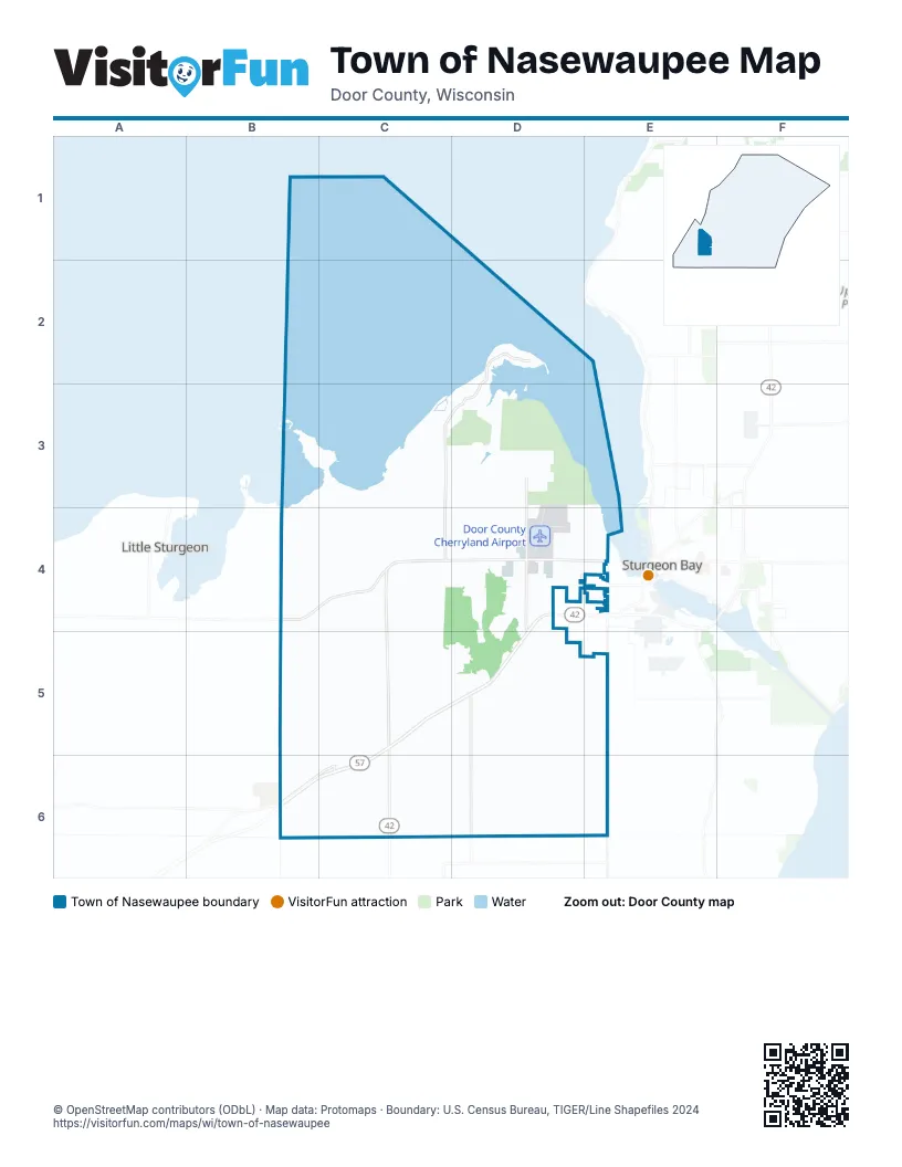
Street index of Town of Nasewaupee
Each street on the sheet and the grid squares it crosses.
- County Road MD2, C3, D3, C4
- County Highway PDD3, D4, D5
- County Road CB4, C4, D4, E4
- County Road MMC4, C5
- State Highway 42/57D4, C5, D5
- State Highway 42C5, C6
- State Highway 57C5, B6, C6
- County Road OD5, D6
- County Road SE5, E6
- County Road DKB6, C6
- Stone RoadC6
Places on the map
- Door County Cherryland Airport
- Door Peninsula
- IdleWild Golf Club
- Island Cirle Drive
- Potawatomi State Park
- South Norway Road
- Town of Nasewaupee
- Tranquil Timbers Campground
Next to Town of Nasewaupee
© OpenStreetMap contributors (ODbL) · Map data: Protomaps · Boundary: U.S. Census Bureau, TIGER/Line Shapefiles 2024