

California map
Placer County map
About 433,822 people live here (Census Bureau, 2024 estimate). Things to do inside the boundary: Efoil Tahoe, North Lake Tahoe Boat Rental and North Tahoe Regional Park. Also on it: American River Headwaters, Auburn Municipal Airport and Auburn State Recreation Area.
Open the map (PDF, US Letter)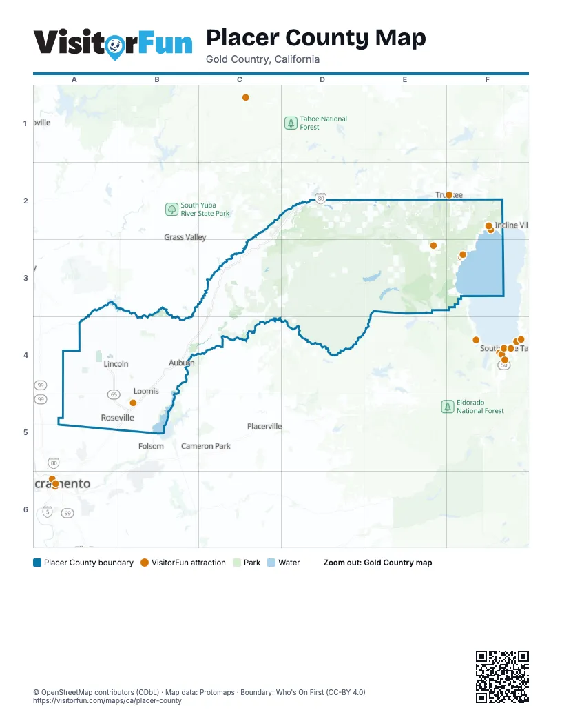
Things to do on the Placer County map
Places on the map
- American River Headwaters
- Auburn Municipal Airport
- Auburn State Recreation Area
- Blue Canyon-Nyack Airport
- Bureau of Land Management
- Burton Creek State Park
- California Tahoe Conservancy
- California Tahoe Conservancy Easement
- Donner Memorial State Park
- Folsom Lake State Recreation Area
- Granite Chief Wilderness
- Harvego Bear River Preserve
- Lincoln Hills Golf Club
- North Fork American Wild and Scenic River
- Royal Gorge
- Winchester Country Club
Next to Placer County
- Cameron Park
- Folsom
- Grass Valley
- Incline Village
- Linda
- Olivehurst
- Oroville
- Placerville
- Rancho Cordova
- Sacramento map
- South Lake Tahoe
- Truckee
© OpenStreetMap contributors (ODbL) · Map data: Protomaps · Boundary: Who's On First (CC-BY 4.0)