

California map
Santa Clara County map
About 1,926,325 people live here (Census Bureau, 2024 estimate). The sheet's index lists 9 streets; Bayshore Freeway, Sinclair Freeway and Junipero Serra Freeway cross the most grid squares. Things to do inside the boundary: Garrod Farms, Gilroy and Los Gatos.
Open the map (PDF, US Letter)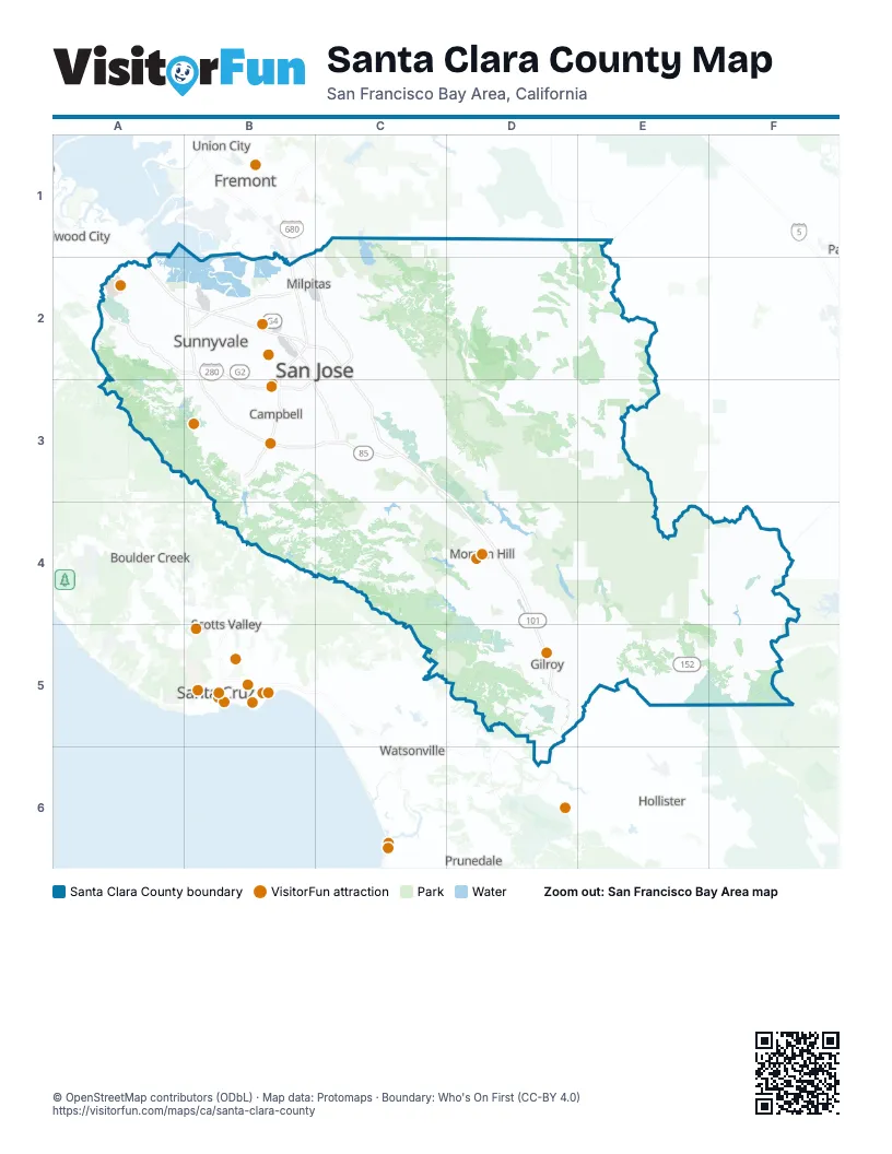
Maps inside Santa Clara County
1 map inside, from the street map of Santa Clara County down.
Street index of Santa Clara County
Each street on the sheet and the grid squares it crosses.
- Bayshore FreewayA2, B2, C2, C3
- Junipero Serra FreewayA2, B2, B3
- Guadalupe FreewayB2, B3, C3
- Nimitz FreewayB2
- Sinclair FreewayB2, C2, B3, C3
- Southbay FreewayB2
- West Valley FreewayB2, B3, C3
- Guadalupe ParkwayC3
- South Valley FreewayD4, D5
Things to do on the Santa Clara County map
Places on the map
- Alicante
- Almaden Golf and Country Club
- Almaden Meadows
- Almaden Quicksilver County Park
- Almaden Reservoir
- Alum Rock
- Alviso
- Ames Research Center
- Anderson Lake County Park
- Anderson Reservoir
- Apple Park
- Baird Ranch Reserve
- Barrett Canyon Reserve
- Bascom Forest
- Baylands Golf Links
- Berryessa Creek Park
- Black Road Christmas Tree Farm
- Bloomfield South Farm Reserve
- Blue Oak Ranch Reserve
- Borello Ranch Estates
- Butterfield Linear Park
- Byxbee Park
- Calaveras Reservoir
- Calaveras Valley
- Calaveras Watershed
Next to Santa Clara County
- Boulder Creek
- Capitola
- Fremont map
- Hollister
- Prunedale
- Redwood City
- Santa Cruz
- Scotts Valley
- Union City
- Watsonville
© OpenStreetMap contributors (ODbL) · Map data: Protomaps · Boundary: Who's On First (CC-BY 4.0)