

California map
Stanislaus County map
About 556,972 people live here (Census Bureau, 2024 estimate). Also on it: Diablo Grande Resort, Frank Raines Regional Park and Oakdale Municipal Airport. 33 smaller maps sit inside it, among them Modesto.
Open the map (PDF, US Letter)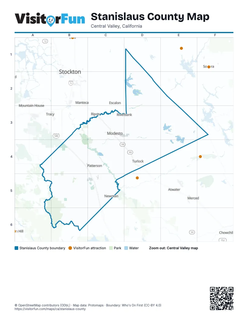
Maps inside Stanislaus County
1 map inside, from the street map of Stanislaus County down.
Places on the map
- Diablo Grande Resort
- Frank Raines Regional Park
- Oakdale Municipal Airport
- Orestimba Wilderness
- San Joaquin River National Wildlife Refuge
Next to Stanislaus County
- Atwater
- Chowchilla
- Discovery Bay
- Escalon
- Livingston
- Manteca
- Merced
- Mountain House
- Ripon
- Sonora
- Stockton map
- Tracy
© OpenStreetMap contributors (ODbL) · Map data: Protomaps · Boundary: Who's On First (CC-BY 4.0)