

California map
Yolo County map
About 225,251 people live here (Census Bureau, 2024 estimate). The sheet's index lists 6 streets; Westside Freeway, Vic Fazio Highway and Yolo Causeway cross the most grid squares. Things to do inside the boundary: River Fox Train.
Open the map (PDF, US Letter)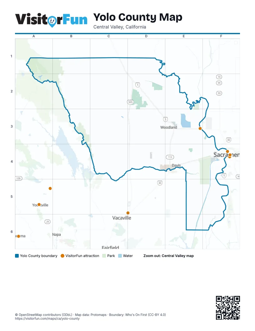
Street index of Yolo County
Each street on the sheet and the grid squares it crosses.
- Westside FreewayC1, D2, D3, E3
- Vic Fazio HighwayE3, E4
- Dwight D. Eisenhower HighwayE4
- Yolo CausewayE4, F4
- Capital City FreewayF4
- North Sacramento Beltline FreewayF4
Things to do on the Yolo County map
Places on the map
- Brooks
- Cache Creek Nature Preserve
- Cache Creek Settling Basin
- Davis
- Davis Creek Reservoir
- Dunnigan
- El Macero Country Club
- Esparto
- Fremont Weir Wildlife Area
- Green Lake
- Guinda
- Knights Landing
- Madison
- Monument Hills
- River Walk
- Riverpoint Marketplace
- Rocky Creek-Cache Creek Wilderness Study Area
- Rumsey
- Rumsey Wintun Rancheria
- Sacramento Weir Widening
- Shields Grove Arboretum
- Tancred
- UC Davis Former Landfill
- UC Davis West Campus
- Vernon A Nichols County Park
- West Sacramento
- Wild Wings Golf Club
- Wildhorse Golf Club
- Winters
- Woodland
- Yocha Dehe Golf Club
- Yolo
- Yolo Bypass Wildlife Area
- Yolo County
- Yolo County Park
Next to Yolo County
- Fairfield
- Napa
- Sacramento map
- Sonoma
- Vacaville
- Yountville
© OpenStreetMap contributors (ODbL) · Map data: Protomaps · Boundary: Who's On First (CC-BY 4.0)