

Florida map
Volusia County map
About 602,772 people live here (Census Bureau, 2024 estimate). The sheet's index lists Interstate 95 and Beville Road. Things to do inside the boundary: Blue Spring State Park and Daytona International Speedway.
Open the map (PDF, US Letter)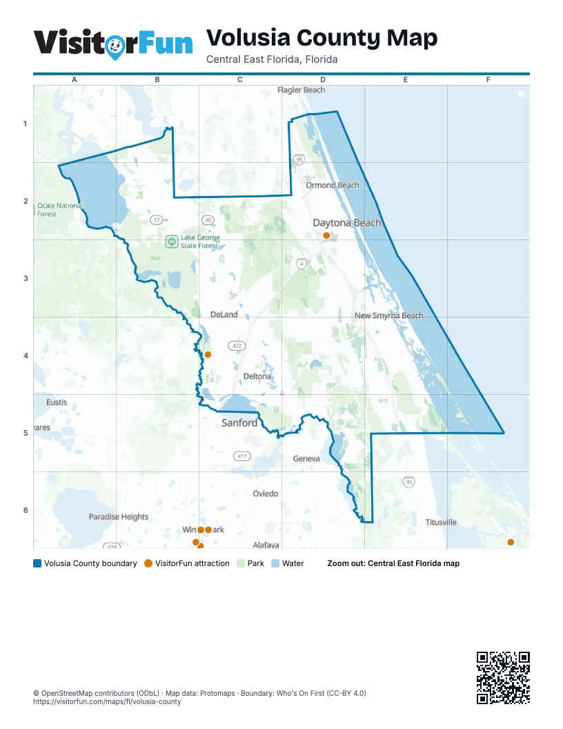
Street index of Volusia County
Each street on the sheet and the grid squares it crosses.
- Interstate 95D1
- Beville RoadD3
Things to do on the Volusia County map
Places on the map
- Airport Business Park
- Alexander Island Park
- Angela Lake
- Apollo Beach
- Ardisia Park
- Beck Ranch Park
- Big Lake
- Blue Spring State Park
- Bulow Creek State Park
- Canaveral National Seashore
- Central Park
- Chuck Lennon Park
- Clark Bay Conservation Area
- Colbert-Cameron Mitigation Bank
- Crescent Lake Conservation Area
- Cypress Head Golf Club
- D Ranch Preserve
- Daytona Auto Mall
- Daytona Beach
- Daytona Beach Golf Club
- Daytona Beach Shores
- Daytona International Speedway
- De Land Southwest
- De Leon Springs
- Dean Dead River
- DeBary
- DeBary Golf & Country Club
- Deep Creek
- Deep Creek Preserve
- Deep Creek Swamp
- Deering Preserve at Deep Creek
- DeLand
- Deltona
- Disappearing Island
- Duck Lake
- Dupont Lake
- Edgewater
- Estates of Verano
- Gemini Springs Park
- Glen Abbey Golf Club
Next to Volusia County
- Alafaya
- Eustis
- Flagler Beach
- Geneva
- Midway
- Mount Dora
- Oviedo
- Paradise Heights
- Pine Hills
- Sanford
- Tavares
- Titusville
- Union Park
- University
- Winter Park
- Winter Springs
© OpenStreetMap contributors (ODbL) · Map data: Protomaps · Boundary: Who's On First (CC-BY 4.0)