

New Jersey map
Atlantic County map
About 279,114 people live here (Census Bureau, 2024 estimate). The sheet's index lists 4 streets; Atlantic City Expressway, Garden State Parkway and Garden State Parkway Northbound cross the most grid squares. Things to do inside the boundary: Absecon Lighthouse, Atlantic City and Frank S. Farley Service Plaza.
Open the map (PDF, US Letter)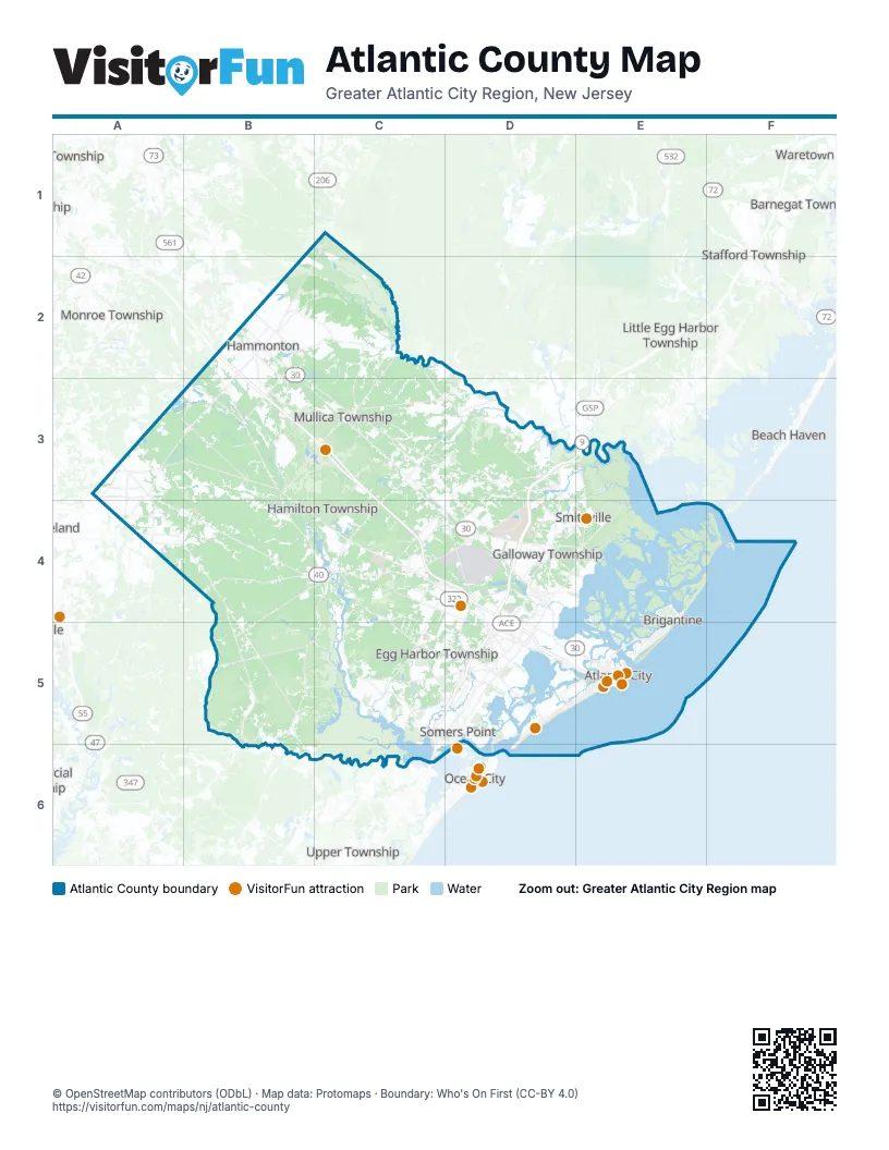
Street index of Atlantic County
Each street on the sheet and the grid squares it crosses.
- Atlantic City ExpresswayB2, B3, C3, C4, D4, D5, E5
- Garden State ParkwayD3, E3, D4, C5, D5, C6
- Garden State Parkway NorthboundD4, C5, D5, C6
- Atlantic City–Brigantine ConnectorE5
Things to do on the Atlantic County map
Places on the map
- Absecon
- Absecon Highlands
- Absecon Wildlife Management Area
- Atlantic Blueberry Company
- Atlantic City
- Atlantic City Boardwalk
- Atlantic City Golf Club
- Atlantic City International Airport
- Atlantic City Race Course
- Atlantic City Reservoir
- Atlantic County
- Atlantic County Landfill
- Bader Field
- Ballamor Golf Club
- Ballenger Woods
- Bargaintown
- Birch Grove Park
- Blue Heron Pines Golf Club
- Brigantine
- Brigantine Beach
- Brigantine Wilderness
- Buena
- Buena Vista Camping Park
- Buena Vista Township
- Cedar Crest
- Cedar Point
- Chatham Village
- Chelsea
- Chelsea Heights
- Collings Lakes
- Cologne
- Consumer Square
- Corbin City
- Cranberry Run
- Crystal Lakes
- Cushman Lake
- Danzenbaker Pool
- Delilah Terrace
- Devonshire Village
- Dog Island
Next to Atlantic County
- Barnegat Township
- Beach Haven
- Little Egg Harbor Township
- Monroe Township
- Ocean City
- Pine Hill
- Stafford Township
- Upper Township
- Vineland
- Waretown
- Winslow Township
© OpenStreetMap contributors (ODbL) · Map data: Protomaps · Boundary: Who's On First (CC-BY 4.0)