

New York map
Montauk map
The sheet's index lists 16 streets; Montauk Point State Parkway, Old Montauk Highway and East Lake Drive cross the most grid squares. Also on it: Amsterdam Beach Preserve, Big Reed Pond and Camp Hero State Park.
Open the map (PDF, US Letter)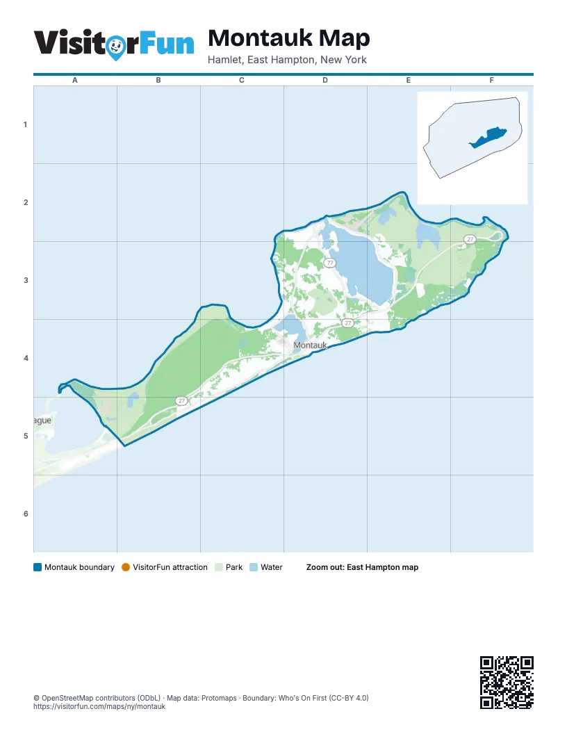
Street index of Montauk
Each street on the sheet and the grid squares it crosses.
- East Lake DriveD2, E2, E3
- Flamingo AvenueD2, D3
- West Lake DriveD2, D3, D4
- Montauk Point State ParkwayF2, D3, E3, F3, B4, C4, D4, B5
- Industrial RoadD3, C4
- Old West Lake DriveD3, E3
- South Edgemere StreetD3, D4
- Dewey PlaceC4
- Montauk HighwayC4, D4
- Old Montauk HighwayC4, D4, B5, C5
- Second House RoadC4, D4
- South Delrey RoadC4, D4
- South Dorset DriveC4
- Carl Fisher PlazaD4
- South Dearborn PlaceD4
- Cemetery RoadB5
Places on the map
- Amsterdam Beach Preserve
- Big Reed Pond
- Camp Hero State Park
- Diamond Cove Marina
- Fort Pond
- Fort Pond Bay Park
- Fresh Pond
- Gurney's Inn Resort and Spa
- Hither Hills
- Hither Hills Campground
- Hither Hills State Park
- Hither Woods Preserve
- Kirk Park
- Lake Montauk
- Montauk
- Montauk County Park
- Montauk County Park RV Campground
- Montauk Downs
- Montauk Mountain Preserve
- Montauk Point State Park
- Montauk Public School
- Montauk Seaplane Base
- Montauk Shores Condominium
- Montauk Yacht Club
- Oyster Pond
- Port Royal
- Prospect Hill
- Rheinstein Estate Park
- Rod's Valley Park Preserve
- Shadmoor State Park
- Snug Harbor Motel
- Turtle Cove Town Park
- Walking Dunes
© OpenStreetMap contributors (ODbL) · Map data: Protomaps · Boundary: Who's On First (CC-BY 4.0)