

New York map
North Elba map
About 7,660 people live here (Census Bureau, 2024 estimate). The sheet's index lists 11 streets; State Highway 86, Lake Flower Avenue and Cascade Road cross the most grid squares. Also on it: Alford Pond, Angel Slide and Beaver Pond.
Open the map (PDF, US Letter)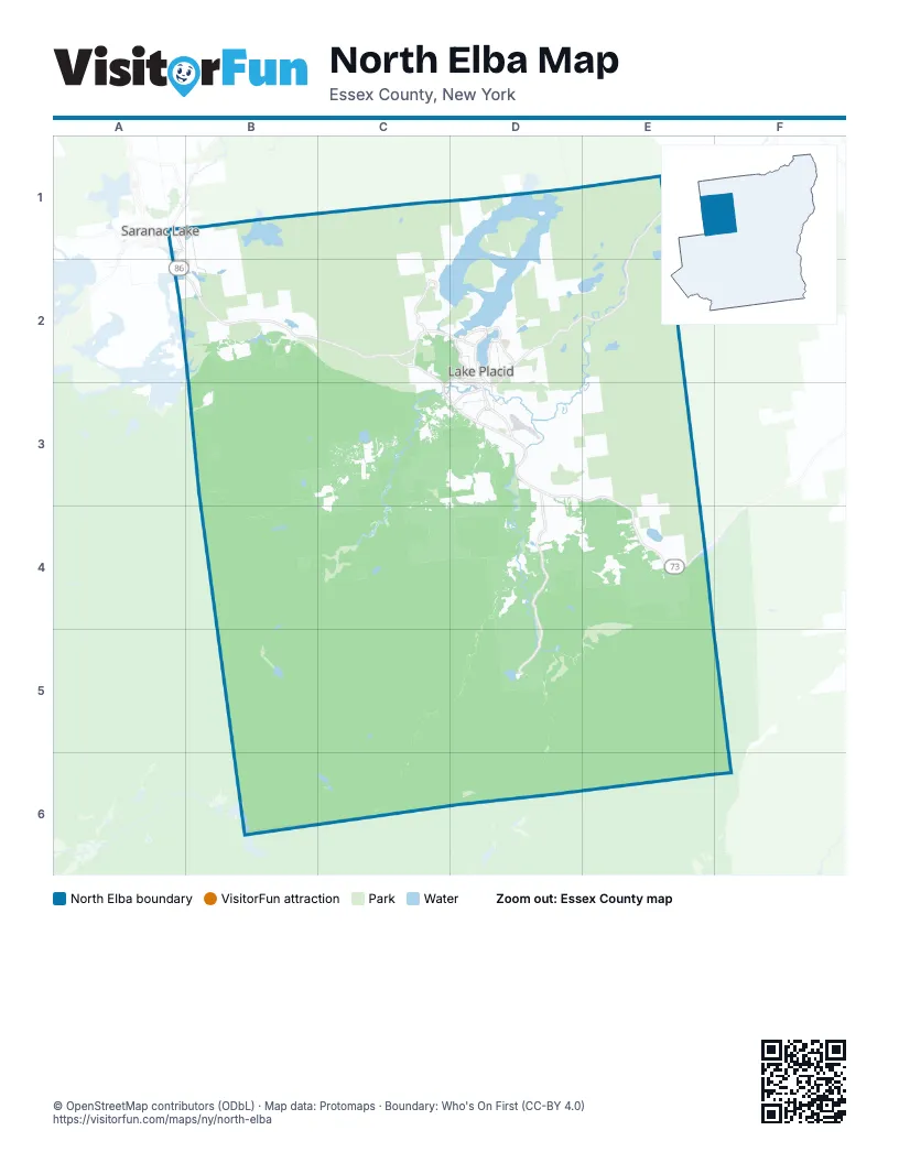
Maps inside North Elba
1 map inside, from the street map of North Elba down.
Street index of North Elba
Each street on the sheet and the grid squares it crosses.
- Lake Flower AvenueA1, A2, B2
- River StreetA1
- State Highway 86E1, C2, D2, E2, D3
- Saranac-Placid RoadB2, C2
- Saranac AvenueC2, D2
- Main StreetD2
- South Main StreetD2, D3
- Wilmington RoadD2, D3
- Cascade RoadD3, E3, E4
- Sentinel RoadD3
- State Highway 73E4
Places on the map
- Alford Pond
- Angel Slide
- Beaver Pond
- Big Cherrypatch Pond
- Black Pond
- Connery Pond
- Copperas Pond
- Craig Wood Golf & Country Club
- Draper's Acres Campground
- Echo Lake
- Heart Lake
- Heaven Hill Trails
- Henry's Woods
- Holcomb Pond
- Jim Kordziel Fields
- Lake Placid
- Lake Placid Club Golf Courses
- Little Cherrypatch Pond
- Loop Trail
- McKenzie Pond
- McLenathan Bay
- Mirror Lake
- Moody Pond
- Moose Pond
- North Meadow
- Orchard Field Loop
- Owen Pond
- Paradox Bay
- Pelkey Basin
- Perimeter Road
- Potato Field Loop
- Ray Brook State Office Complex
- Round Lake
- Saranac Lake Golf Course
- Shelter Strait
- South Meadow
- Sunset Strait
- Town of North Elba
- Village of Lake Placid
- Wallface Ponds
Next to North Elba
- Saranac Lake
© OpenStreetMap contributors (ODbL) · Map data: Protomaps · Boundary: Who's On First (CC-BY 4.0)