

New York map
Saratoga County map
About 240,360 people live here (Census Bureau, 2024 estimate). The sheet's index lists Adirondack Northway. Things to do inside the boundary: Saratoga Race Course and Saratoga Spa State Park.
Open the map (PDF, US Letter)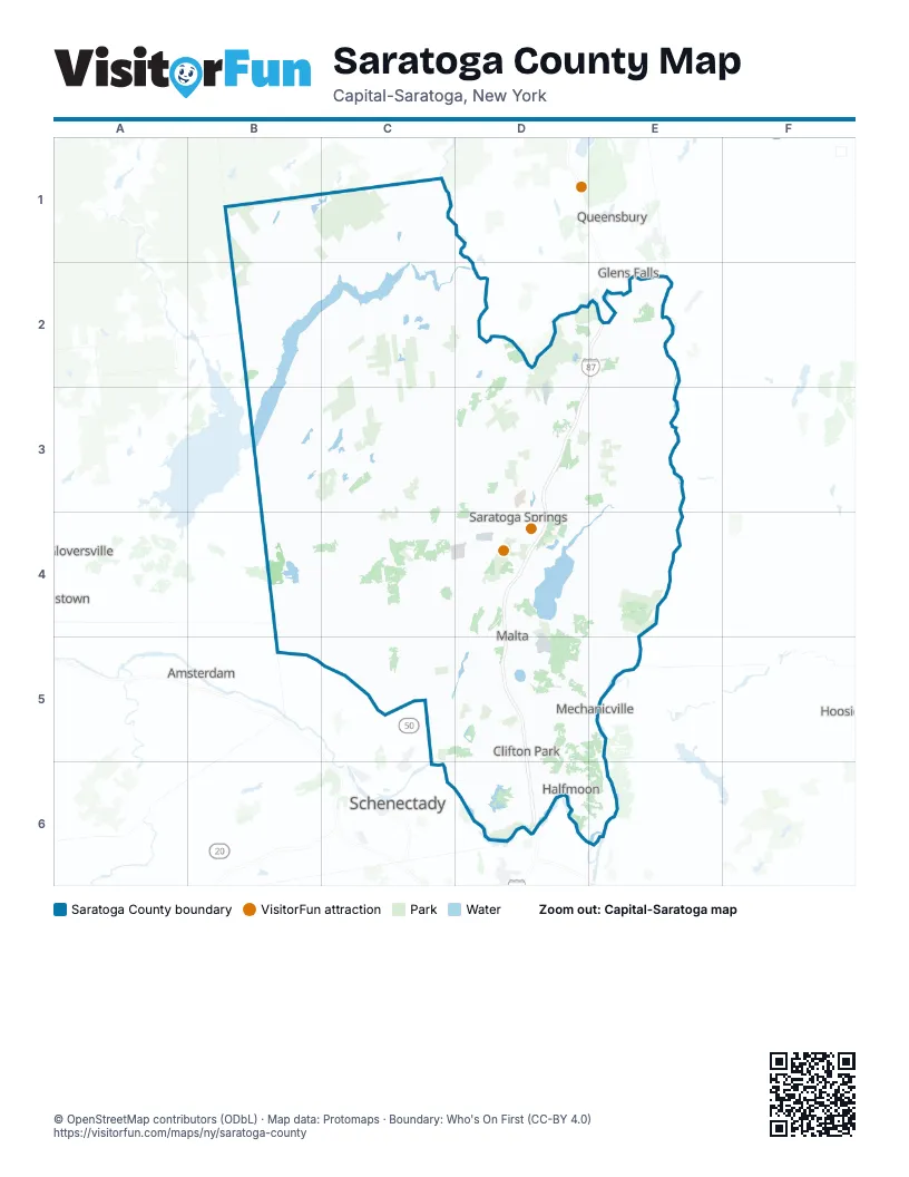
Maps inside Saratoga County
1 map inside, from the street map of Saratoga County down.
Street index of Saratoga County
Each street on the sheet and the grid squares it crosses.
- Adirondack NorthwayD2, E2, D3, D4, D5, D6
Things to do on the Saratoga County map
Places on the map
- 100 Acre Woods
- Adirondack Acres Estates
- Airway Meadows Golf Club
- Alpine Lake RV Resort
- Anchor Diamond Park
- Archer Vly
- Ballston Lake
- Ballston Spa Country Club
- Barkersville Trails
- Bell Brook Pond
- Black Pond
- Blodgett Vly
- Boice Family Park
- Bowman Orchards
- Briarhurst Acres
- Brookhaven Golf Course
- Capital Region Business Park
- Champlain Canal
- City of Mechanicville
- City of Saratoga Springs
- Clifton Gardens
- Clifton Knolls-Mill Creek
- Coldbrook Preserve
- Colonie Reservoir
- Corbin Nature Reserve
- Country Knolls
- Curtis Industrial Park
- Curtis Lumber Co., Inc.
- Curtis Preserve
- Daketown State Forest
- Daniels Road State Forest
- Dutch Meadows
- Dwaas Kill Nature Preserve
- Eagle Crest Golf Club
- Edie Road County Forest
- Efner Lake
- Evans Pond
- Fairways of Halfmoon
- Fire Pond County Forest
- Galway Lake
Next to Saratoga County
- Amsterdam
- Glens Falls
- Gloversville
- Hudson Falls
- Johnstown
- Queensbury
- Schenectady map
© OpenStreetMap contributors (ODbL) · Map data: Protomaps · Boundary: Who's On First (CC-BY 4.0)