

New York map
Ulster County map
About 182,977 people live here (Census Bureau, 2024 estimate). The sheet's index lists New York State Thruway and Clayton 'Peg Leg' Bates Highway. Things to do inside the boundary: Hudson River Cruises and Shawangunk Wine Trail.
Open the map (PDF, US Letter)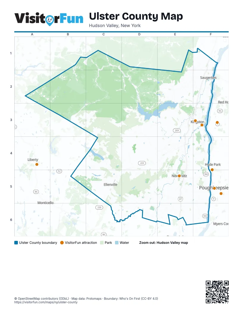
Maps inside Ulster County
1 map inside, from the street map of Ulster County down.
Street index of Ulster County
Each street on the sheet and the grid squares it crosses.
- New York State ThruwayF1, F2, E3, F3, E4, E5, E6
- Clayton 'Peg Leg' Bates HighwayE3, F3
Things to do on the Ulster County map
Places on the map
- Accord
- Acorn Hill Unit
- Amanda Dr Bluestone Quarry
- Apple Greens Golf Course
- Ashokan Fishing Access Area
- Ashokan North Unit
- Balsam Lake Mountain Wild Forest
- Balsam Swamp
- Bayit V'gan
- Beaverkill Unit
- Beetree Hill Unit
- Belleayre Mountain Ski Center
- Berean Park
- Berme Road Park
- Big Indian Unit
- Big Indian Wilderness
- Birch Creek Unit
- Black Creek State Forest
- Black Road Unit
- Bluestone Wild Forest
- Boulevard Road Unit
- Bristol Beach State Park
- Broadstreet Hollow Unit
- Brodhead Unit
- Bushkill Unit
- Camp Ohr Shraga
- Cape Pond
- Catskill
- Catskill Park
- Chichester Unit
- City of Kingston
- Clearwater Park
- Clintondale
- Colony Farm
- Cooper Lake
- Cragsmoor
- D.B. Orchards
- Dancing Rock Unit
- Deer Kill Creek Unit
- Dharma Drum Retreat Center
Next to Ulster County
- Fairview
- Hyde Park map
- Liberty
- Monticello
- Myers Corner
- Poughkeepsie map
- Red Hook
- Rhinebeck
- Walden
© OpenStreetMap contributors (ODbL) · Map data: Protomaps · Boundary: Who's On First (CC-BY 4.0)