

Oregon map
Deschutes County map
About 211,535 people live here (Census Bureau, 2024 estimate). Things to do inside the boundary: Bend, Deschutes Historical Museum and High Desert Food Trail. Also on it: Deschutes National Forest, La Pine State Park and Oregon Badlands Wilderness.
Open the map (PDF, US Letter)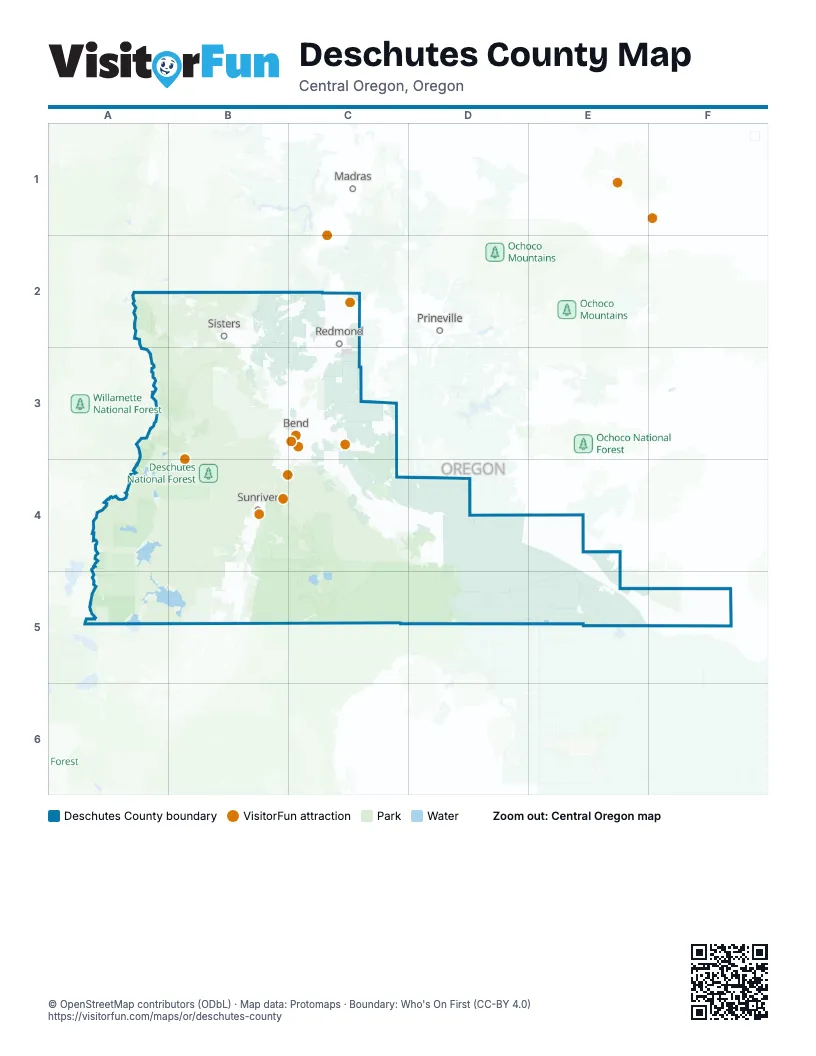
Things to do on the Deschutes County map
Places on the map
- Deschutes National Forest
- La Pine State Park
- Oregon Badlands Wilderness
- Shevlin Park
- Skyline Forest
- Whychus Canyon Preserve
Next to Deschutes County
- Madras
- Prineville
© OpenStreetMap contributors (ODbL) · Map data: Protomaps · Boundary: Who's On First (CC-BY 4.0)