

Oregon map
Eastern Oregon map
The sheet's index lists 4 highways; I-84, US 30 and I-82 cross the most grid squares. Things to do inside the boundary: Eagle Cap Excursion Train, Four Rivers Cultural Center and Geiser Grand Hotel. Also on it: Baker City, Burns and Enterprise.
Open the map (PDF, US Letter)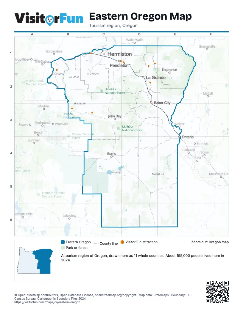
Highway index of Eastern Oregon
Each highway on the sheet and the grid squares it crosses.
- I-82C1
- I-84B1, C1, D1, D2, D3, E3, E4
- US 30B1, C1, D1, D2, D3, E3, E4
- US 395C1
Things to do on the Eastern Oregon map
- Eagle Cap Excursion Train
- Four Rivers Cultural Center
- Geiser Grand Hotel
- Heritage Station Museum
- John Day Fossil Beds National Monument
- Minam Store
- Mtn. View RV Park
- Painted Hills
- Pendleton Underground Tours
- Pendleton Woolen Mills
- SAGE Center
- Sherman County Historical Museum
- Sumpter Valley Railroad
- Union County Museum
- Wildhorse Resort & Casino
Places on the map
- Baker City
- Burns
- Enterprise
- Hermiston
- John Day
- La Grande
- Ontario
- Pendleton
Next to Eastern Oregon
- North Central Idaho
- Southwest Idaho
- Cowboy Country
- Reno-Tahoe Territory
- Central Oregon map
- Mt. Hood & Columbia River Gorge map
- Southern Oregon
- Wine Country
© OpenStreetMap contributors, Open Database License, openstreetmap.org/copyright · Map data: Protomaps · Boundary: U.S. Census Bureau, Cartographic Boundary Files 2024