

Oregon map
Mt. Hood & Columbia River Gorge map
The sheet's index lists 4 highways; I-84, US 30 and US 26 cross the most grid squares. Things to do inside the boundary: Always Catchin Fishing Charters, Bike the Gorge and Cascade Locks Historical Museum. Also on it: Cascade Locks, Chenoweth and Hood River.
Open the map (PDF, US Letter)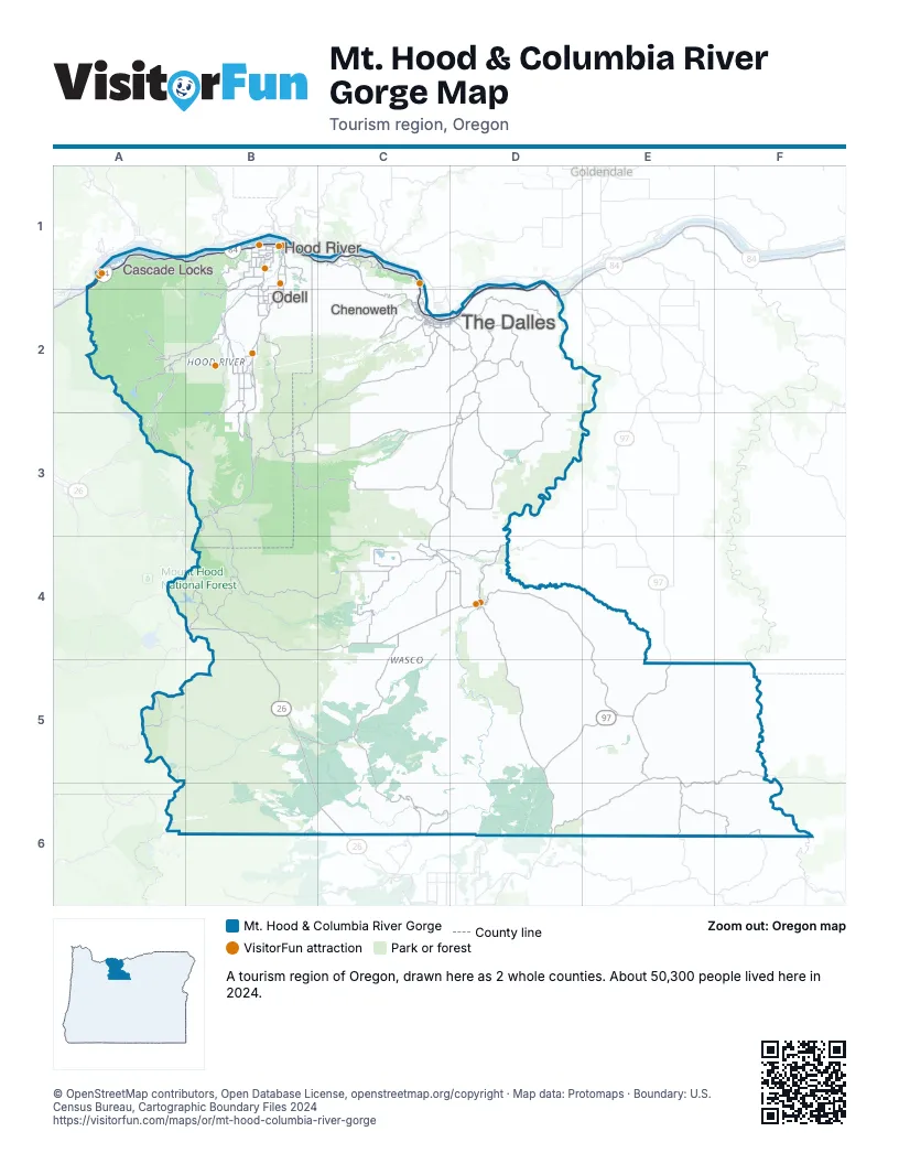
Highway index of Mt. Hood & Columbia River Gorge
Each highway on the sheet and the grid squares it crosses.
- I-84A1, B1, C1, C2, D1, D2
- US 26B4, B5, C6
- US 30A1, B1, C1, D1, D2
- US 97D5, D6, E5
Things to do on the Mt. Hood & Columbia River Gorge map
- Always Catchin Fishing Charters
- Bike the Gorge
- Cascade Locks Historical Museum
- Columbia Gorge Discovery Center & Museum
- Columbia Gorge Hotel & Spa
- Deschutes River Adventures
- Draper Girls Country Farm
- Ebike Multnomah Falls
- Gorge Sail Ventures
- Hood River Fruit Loop
- Mount Hood Railroad
- Packer Orchards
- River Drifters
- The Fruit Company Museum & Factory Store
- Western Antique Aeroplane and Automobile Museum
Places on the map
- Cascade Locks
- Chenoweth
- Hood River
- Odell
- The Dalles
Next to Mt. Hood & Columbia River Gorge
- Central Oregon map
- Eastern Oregon map
- Portland Region map
- Willamette Valley map
- Southwest Washington
- Wine Country
© OpenStreetMap contributors, Open Database License, openstreetmap.org/copyright · Map data: Protomaps · Boundary: U.S. Census Bureau, Cartographic Boundary Files 2024