

Utah map
Dixie map
The sheet's index lists 5 highways; I-15, SR 7 and SR 20 cross the most grid squares. Things to do inside the boundary: Angels Landing, Arts to Zion Art and Studio Tour and Ascent Air Charter. Also on it: Cedar City, Enoch and Enterprise.
Open the map (PDF, US Letter)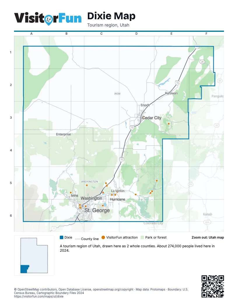
Highway index of Dixie
Each highway on the sheet and the grid squares it crosses.
- I-15B6, C4, C5, C6, D3, D4, E1, E2, E3, F1
- SR 7B6, C5, C6
- SR 9C5
- SR 20E1, F1, F2
- SR 59C5, D5, D6
Things to do on the Dixie map
- Angels Landing
- Arts to Zion Art and Studio Tour
- Ascent Air Charter
- ATV Offroad Adventures
- Cedar Breaks National Monument
- Cedar City & Brian Head
- Dig Paddlesports
- Fiesta Fun Center
- Greater Zion
- Greater Zion E-Bikes
- McQuarrie Memorial Museum
- Red Rock Humvee Tours
- Red Rock Shuttle
- Red Rock SxS Tours
- Sand Hollow Rentals
- Silver Reef Museum
- SoTah Adventures
- Southern Utah Adventure Center
- Southwest Adventure Tours
- St. George Dinosaur Discovery Site at Johnson Farm
- Tuacahn Center for the Arts
- Utah Adventure Center
- UTV Adventure Tours
- Washington County Museums
- Zion Balloons
- Zion Canyon Hot Springs
- Zion Helicopters
- Zion Jeep Tours
- Zion National Park
- Zion Vineyards
Places on the map
- Cedar City
- Enoch
- Enterprise
- Hurricane
- Ivins
- La Verkin
- Parowan
- St. George
- Washington
Next to Dixie
- West Coast Arizona
- Frontier Territory
- Canyon Country map
- Central Utah map
© OpenStreetMap contributors, Open Database License, openstreetmap.org/copyright · Map data: Protomaps · Boundary: U.S. Census Bureau, Cartographic Boundary Files 2024