

Washington map
Thurston County map
About 302,912 people live here (Census Bureau, 2024 estimate). Things to do inside the boundary: Experience Olympia & Beyond Visitor Center. Also on it: Alder Lake, Big Fishtrap and Big Tykel Cove.
Open the map (PDF, US Letter)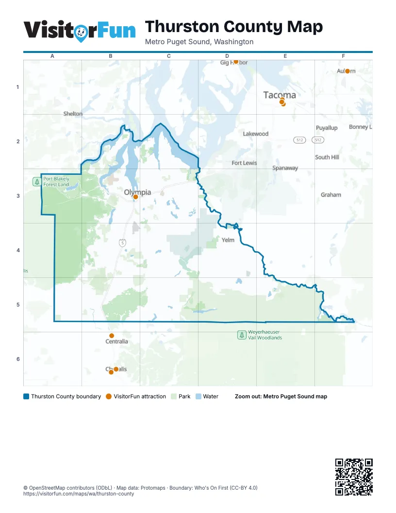
Things to do on the Thurston County map
Places on the map
- Alder Lake
- Big Fishtrap
- Big Tykel Cove
- Black Lake
- Black Lake Bible Camp
- Black Lake Quarry LLC
- Black River Farms
- Black River Preserve
- Black River Riparian Preserve
- Black River Wildlife Area
- Blooms Preserve
- Boe Pit
- Bradbury
- Brown Preserve
- Bucoda
- Budd Inlet
- Burns Cove
- Butler Cove
- Camp Thunderbird
- Capital City Golf Club
- Capital Mall
- Capitol Lake
- Cavness Ranch Preserve
- Cedar Creek Corrections Center
- Chambers Lake
- Chapman Bay
- Chehalis River
- Clear Lake
- Countryside Beach
- Dana Passage
- Darlin Creek Preserve
- Deep Lake
- Deschutes Falls County Park
- Deschutes Prairie
- Deschutes Prairie Preserve
- Deschutes River Highlands
- Deschutes River Preserve
- East Bay
- Elbow Lake
- Eld Inlet
Next to Thurston County
- Auburn
- Bonney Lake
- Centralia
- Chehalis
- Federal Way
- Fife
- Fort Lewis
- Gig Harbor
- Graham
- Lakewood
- Puyallup
- Shelton
- South Hill
- Spanaway
- Tacoma map
- University Place
© OpenStreetMap contributors (ODbL) · Map data: Protomaps · Boundary: Who's On First (CC-BY 4.0)