

New Jersey map
Ocean County map
About 666,434 people live here (Census Bureau, 2024 estimate). The sheet's index lists 4 streets; Garden State Parkway, Central Jersey Expressway and Garden State Parkway Northbound cross the most grid squares. Things to do inside the boundary: Barnegat Lighthouse State Park, Casino Pier and Island Beach State Park.
Open the map (PDF, US Letter)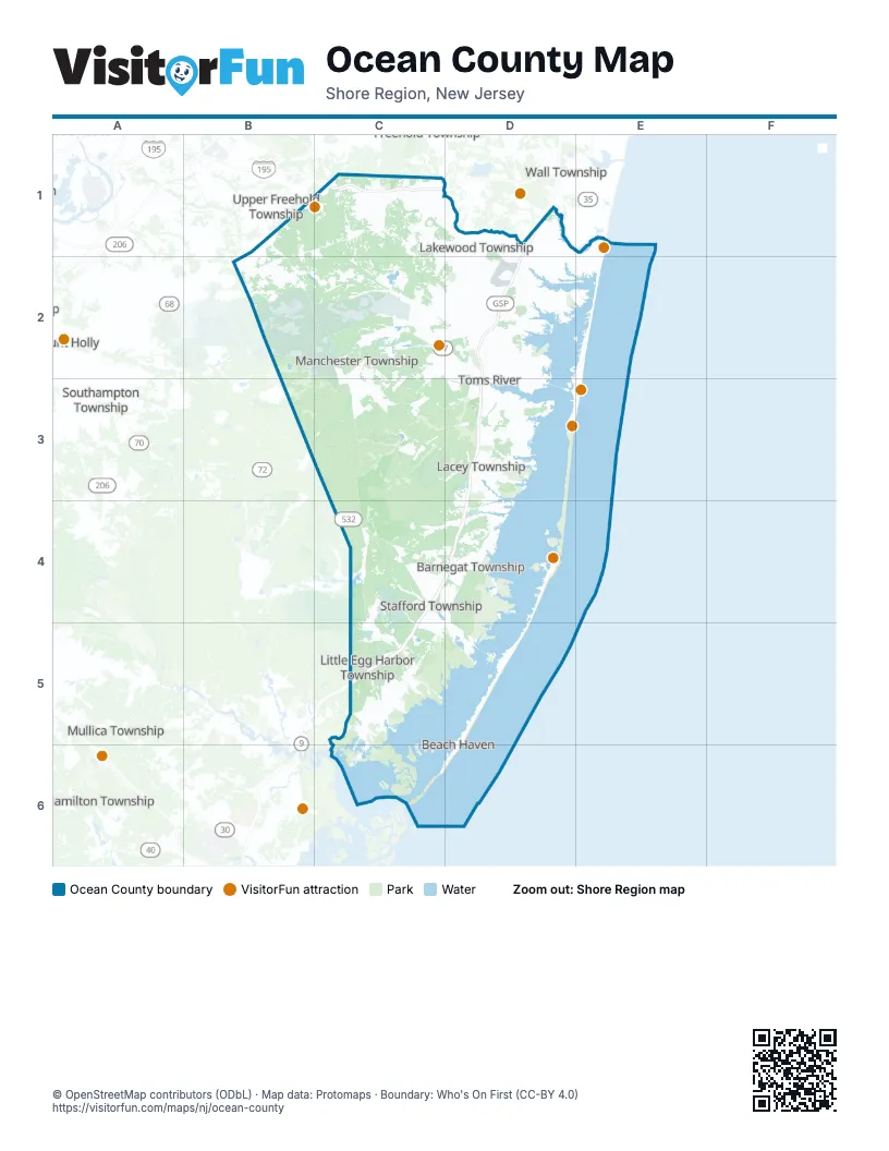
Street index of Ocean County
Each street on the sheet and the grid squares it crosses.
- Central Jersey ExpresswayC1
- Garden State ParkwayD1, D2, D3, C4, D4, C5
- Garden State Parkway NorthboundD3
- GSP Northbound entrance rampC4
Things to do on the Ocean County map
Places on the map
- 60 Acre Reserve
- Anchorage
- Atlantic Hills
- Bamber Lake
- Barnegat
- Barnegat Bay
- Barnegat Branch Trail
- Barnegat Inlet
- Barnegat Light
- Barnegat Preserve
- Barnegat Township
- Bay Harbor Estates
- Bay Head
- Beach Haven
- Beach Haven Crest
- Beach Haven Gardens
- Beach Haven Heights
- Beach Haven Historic District
- Beach Haven Park
- Beach Haven Terrace
- Beach Haven West
- Beachwood
- Bennetts Pond
- Berkeley Township
- Bey Lea Golf Course
- Brant Beach
- Brick Plaza
- Brick Township
- Brighton Beach
- Brindle Lake
- Bunker Hill Pond
- Carasaljo Park
- Cattus Island County Park
- Cedar Glen West
- Cedar Swamp
- Cedar Village
- Chadwick Beach Island
- Colony Lakes
- Country Walk of Lake Ridge
- Crestwood Village
Next to Ocean County
- Falls Township
- Hamilton Township
- Millstone Township
- Mount Holly
- Mullica Township
- Southampton Township
- Upper Freehold Township
- Wall Township
© OpenStreetMap contributors (ODbL) · Map data: Protomaps · Boundary: Who's On First (CC-BY 4.0)