

Oregon map
Clackamas County map
About 425,857 people live here (Census Bureau, 2024 estimate). The sheet's index lists Abernethy Bridge and Cascade Highway. Things to do inside the boundary: 1937 Steiner Log Church, End of the Oregon Trail Interpretive Center and Gallery Without Walls.
Open the map (PDF, US Letter)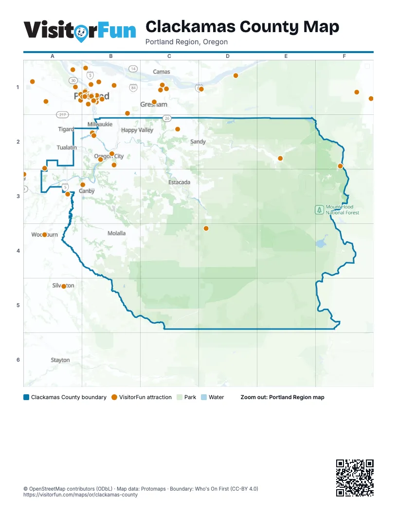
Street index of Clackamas County
Each street on the sheet and the grid squares it crosses.
- Abernethy BridgeB2
- Cascade HighwayB2
Things to do on the Clackamas County map
Places on the map
- 3-Creeks Natural Area
- Arbor Villebois
- Ardenwald
- Arrowhead Golf Club
- Ashdown Wood Open Space
- Barger Christmas Tree Farm
- Barlow
- Barlow Wayside Park
- Barrington Heights
- Barton Natural Area
- Barton Park
- Beaver Lake Estates NO.2
- Beaver Lake Estates NO.4
- Beavercreek
- Birdshill
- Blue Heron
- Boeckman Creek Natural Area
- Bolton
- Boring
- Brown's Ferry Park
- Bryant
- Bull of the Woods Wilderness
- Bull Run Lake
- Bull Run Reservoir Number Two
- Bull Run River
- Cal Farms
- Camp Howard
- Canby
- Canby Community Park
- Canby East Quartz Mine
- Canby Pit
- Canby West Quartz Mine
- Canemah Bluff Nature Park
- Canemah Historic District
- Caufield
- Charbonneau Golf Course
- Childs
- Chinquapin Bluffs
- Clackamas Bluff
- Clackamas County
Next to Clackamas County
- Beaverton
- Camas
- Gresham
- Portland map
- Sherwood
- Silverton
- Stayton
- Tigard
- Tualatin
- Washougal
- Woodburn
© OpenStreetMap contributors (ODbL) · Map data: Protomaps · Boundary: Who's On First (CC-BY 4.0)