

Oregon map
Marion County map
About 352,867 people live here (Census Bureau, 2024 estimate). Things to do inside the boundary: Enchanted Forest, Englewood Forest Festival and Oregon State Capitol. Also on it: Minto-Brown Island Park, Opal Creek Wilderness and Silver Falls State Park.
Open the map (PDF, US Letter)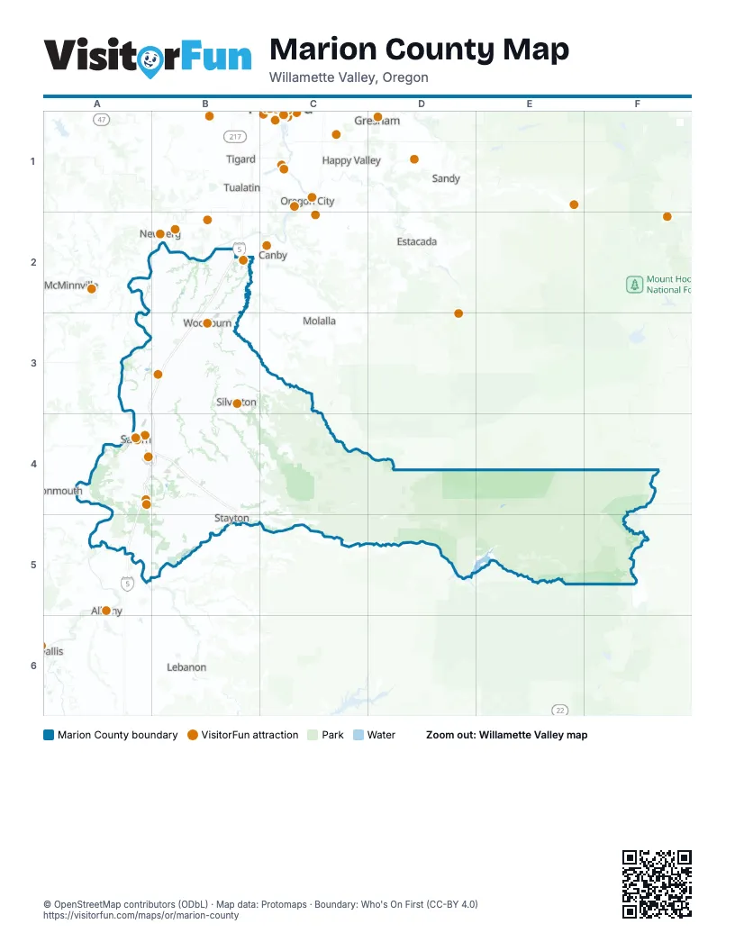
Things to do on the Marion County map
Places on the map
- Minto-Brown Island Park
- Opal Creek Wilderness
- Silver Falls State Park
- Willamette Mission State Park
Next to Marion County
- Albany
- Beaverton
- Canby
- Estacada
- Gresham
- Happy Valley
- Lake Oswego
- Lebanon
- McMinnville
- Milwaukie
- Molalla
- Monmouth
- Newberg
- Oregon City
- Sandy
- Sherwood
- Tigard
- Tualatin
- Wilsonville
© OpenStreetMap contributors (ODbL) · Map data: Protomaps · Boundary: Who's On First (CC-BY 4.0)