

Wisconsin map
Dane County map
About 588,347 people live here (Census Bureau, 2024 estimate). The sheet's index lists 6 streets; West Beltline Highway, US Highway 51 and East Washington Avenue cross the most grid squares. Things to do inside the boundary: Cave of the Mounds and Olbrich Botanical Gardens.
Open the map (PDF, US Letter)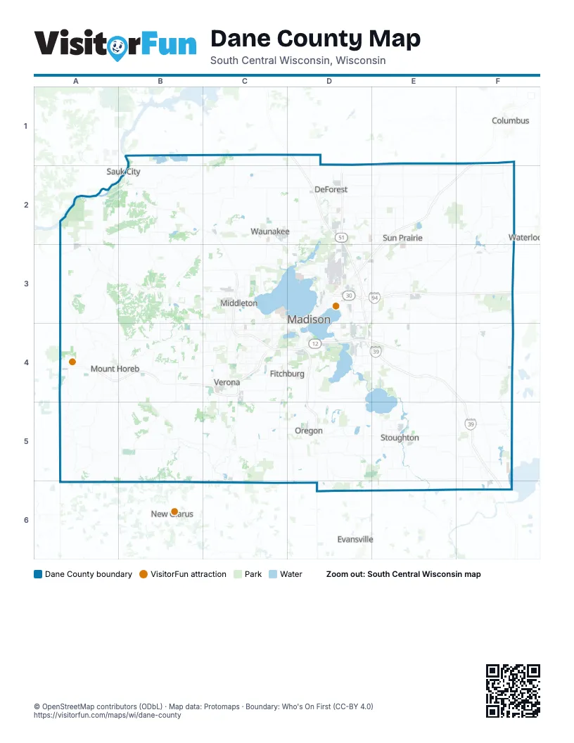
Maps inside Dane County
1 map inside, from the street map of Dane County down.
Street index of Dane County
Each street on the sheet and the grid squares it crosses.
- US Highway 51D2
- West Beltline HighwayC3, C4, D4
- East Washington AvenueD3
- State Highway 30D3
- Verona RoadC4
- South Beltline HighwayD4
Things to do on the Dane County map
Places on the map
- Alliant Energy Center
- Amazon Fulfilment Center
- American Family Insurance
- Anderson Farm County Park
- Arbor Hills
- Badfish Creek Wildlife Area
- Badger Prairie County Park
- Bass Lake
- Bassett
- Bay Creek
- Belleville
- Belmar
- Berkley Oaks
- Bishops Bay Golf Course
- Black Earth
- Black Earth Creek Fishery Area
- Blackhawk
- Blooming Grove
- Bluestem Park
- Bram's Addition
- Brazee Lake
- Brentwood Village
- Bridge-Lakepoint
- Bridges Golf Course
- Brigham County Park
- Bristol Gardens
- Brooklyn State Wildlife Area
- Brooks Estates
- Burr Oaks
- Cambridge
- Camelot View
- Camp Brandenburg
- Camrock County Park
- Capital Springs State Park
- Capital Springs State Recreation Area
- Capitol Estates
- Capitol Sand & Gravel
- Capitol Valley
- Cardinal's Point Estates
- Carriage Hill Estates
Next to Dane County
- Columbus
- Evansville
- New Glarus
- Prairie du Sac
- Sauk City
- Waterloo
© OpenStreetMap contributors (ODbL) · Map data: Protomaps · Boundary: Who's On First (CC-BY 4.0)