

California map
Merced County map
About 296,774 people live here (Census Bureau, 2024 estimate). The sheet's index lists Golden State Highway and Westside Freeway. Things to do inside the boundary: Hilmar Cheese Visitor Center and Splash-n-Dash Aqua Park.
Open the map (PDF, US Letter)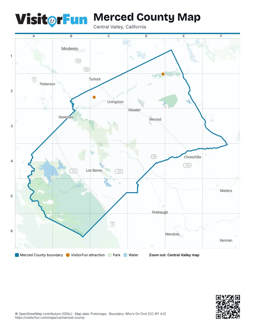
Street index of Merced County
Each street on the sheet and the grid squares it crosses.
- Golden State HighwayC2, D2, D3, E3, E4
- Westside FreewayB3, B4, B5, C5
Things to do on the Merced County map
Places on the map
- Anthony Vierra Dairy
- Atwater
- Auto Tour Route
- Big Buttonwillow Lake
- Big Water Lake
- Castle Commerce Center No 2
- Castle Gardens
- Delhi
- Delta-Mendota Canal
- Dos Palos
- Duck Pond
- Duck Ponds
- East LAA
- Fahrens Park
- Fairfield Canal
- Flat Pond
- Forebay Golf Club
- Foster Farms
- Grasslands Wildlife Management Area
- Great Valley Grasslands State Park
- Gustine
- Highway 59 Landfill
- Hilmar-Irwin
- Ingalsbe Slough
- Ingomar Packing
- Joe Rocha Dairy
- Kelsey Reservoir
- Lake Yosemite County Park
- Le Grand
- Little Buttonwillow Lake
- Livingston
- Los Banos
- Los Banos Municipal Airport
- Los Banos Reservoir
- Los Banos Wildlife Area
- Lower Cottonwood Creek Wildlife Area
- Main Canal
- Merced
- Merced County
- Merced County Preserve
Next to Merced County
- Ceres
- Chowchilla
- Firebaugh
- Kerman
- Madera
- Mendota
- Modesto map
- Newman
- Patterson
- Turlock
© OpenStreetMap contributors (ODbL) · Map data: Protomaps · Boundary: Who's On First (CC-BY 4.0)