

California map
Tulare County map
About 483,546 people live here (Census Bureau, 2024 estimate). Things to do inside the boundary: General Sherman Tree, Sequoia National Park and Sequoia Tourism Council. Also on it: Chimney Peak Wilderness, Domeland Wilderness and Golden Trout Wilderness.
Open the map (PDF, US Letter)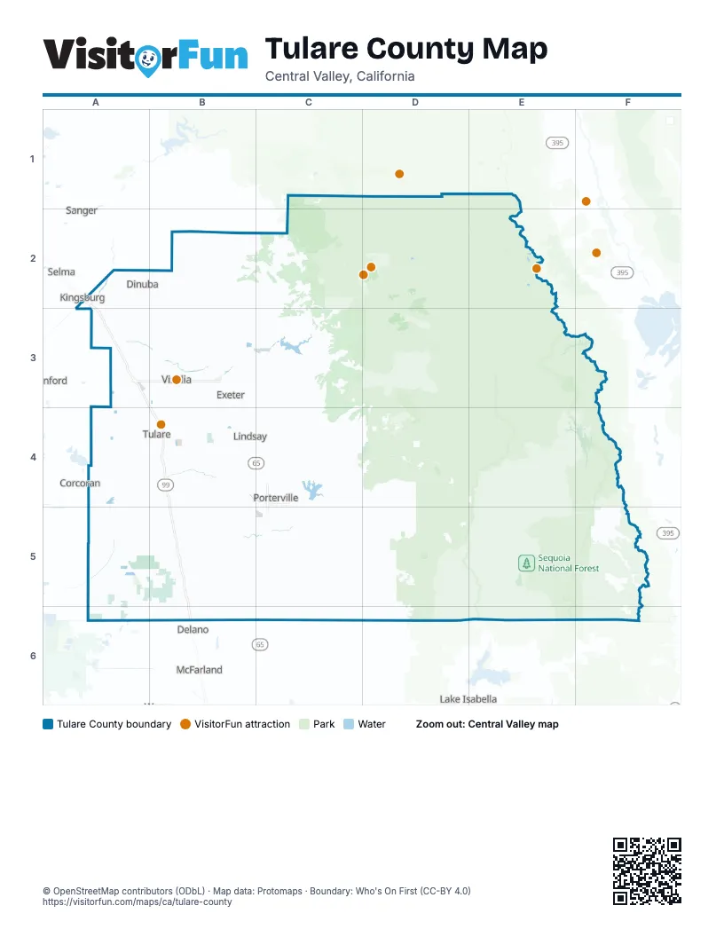
Things to do on the Tulare County map
Places on the map
- Chimney Peak Wilderness
- Domeland Wilderness
- Golden Trout Wilderness
- Jennie Lakes Wilderness
- John Krebs Wilderness
- Kern Wild and Scenic River
- Mefford Field
- Mountain Home Demonstration State Forest
- Porterville Municipal Airport
- Sequoia National Forest
- Sequoia National Park
- South Sierra Wilderness
Next to Tulare County
- Corcoran
- Delano
- Hanford
- Kingsburg
- Lake Isabella
- McFarland
- Reedley
- Sanger
- Selma
© OpenStreetMap contributors (ODbL) · Map data: Protomaps · Boundary: Who's On First (CC-BY 4.0)