

Colorado map
Arapahoe County map
About 666,918 people live here (Census Bureau, 2024 estimate). Also on it: Cherry Creek State Park. 24 smaller maps sit inside it, among them Aurora.
Open the map (PDF, US Letter)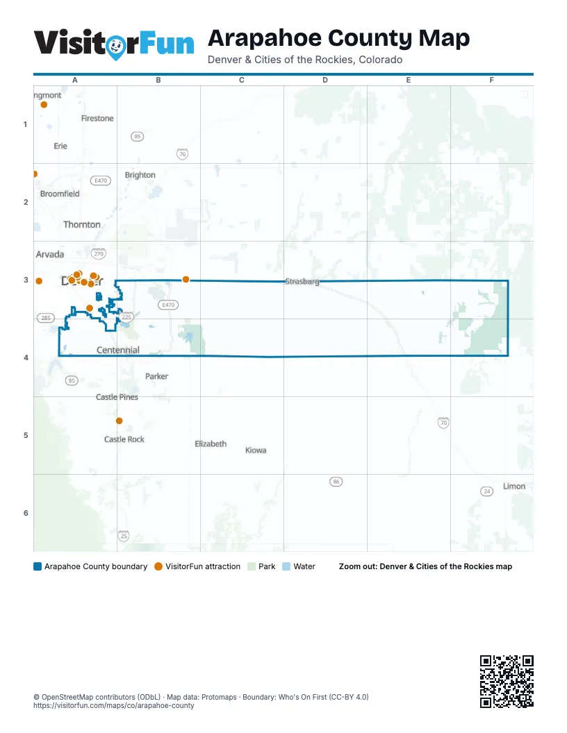
Maps inside Arapahoe County
1 map inside, from the street map of Arapahoe County down.
Places on the map
- Cherry Creek State Park
Next to Arapahoe County
- Arvada
- Bennett
- Brighton
- Broomfield
- Castle Pines
- Castle Rock
- Denver map
- Elizabeth
- Erie
- Firestone
- Fort Lupton
- Highlands Ranch
- Kiowa
- Lakewood
- Limon
- Lochbuie
- Longmont
- Parker
- Thornton
© OpenStreetMap contributors (ODbL) · Map data: Protomaps · Boundary: Who's On First (CC-BY 4.0)