

New York map
Niagara County map
A printable two-page map of Niagara County (Greater Niagara, New York), drawn by VisitorFun from OpenStreetMap. Page two is the street index: every street on the sheet with its grid square, the same list as below.
Open the map (PDF, US Letter)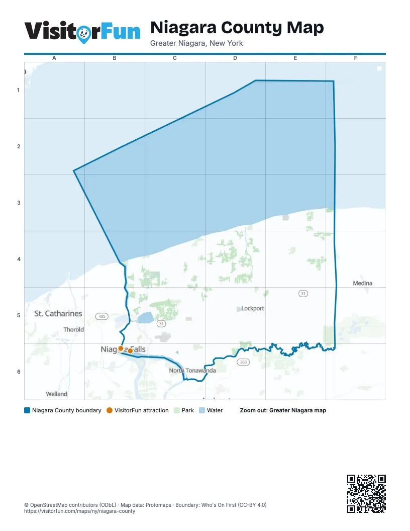
Street index of Niagara County
Each street on the sheet and the grid squares it crosses.
- General Brock ParkwayB5
- Niagara ExpresswayB5, C5, C6
- Niagara ThruwayC6
- North Grand Island BridgeC6
Things to do on the Niagara County map
Places on the map
- Burmaster Park
- Cambria Technology Park
- Cayuga Island
- CECOS Landfill
- City of Lockport
- City of Niagara Falls
- City of North Tonawanda
- Deerwood Golf Course
- East Branch Twelvemile Creek
- Forebay Canal
- Four Mile Creek State Park
- Gasport
- Goat Island
- Golden Hill State Park
- Gratwick Riverside Park
- Hyde Park
- Hyde Park Lake
- Joseph Davis State Park
- Kintigh Generating Station
- Krull Park
- Lewiston Reservoir
- Lockheed Martin
- Lockport Town & Country Club
- Newfane
- Niagara County
- Niagara County Golf Course
- Niagara Falls Air Reserve Station
- Niagara Falls Country Club
- Niagara Falls Plant
- Niagara Falls State Park
- Niagara Frontier Golf Club
- Niagara University
- Olcott
- Oppenheim County Park
- Ransomville
- Rapids
- Reservoir State Park
- Royalton Ravine County Park
- Sanborn
- South Lockport
Maps inside Niagara County
Next to Niagara County
- Grand Island
- Medina
- St. Catharines
- Thorold
- Welland
© OpenStreetMap contributors (ODbL) · Map data: Protomaps · Boundary: Who's On First (CC-BY 4.0)