

South Carolina map
Greenville County map
About 570,745 people live here (Census Bureau, 2024 estimate). The sheet's index lists Golden Strip Freeway and Southern Connector. Things to do inside the boundary: Caesars Head State Park and Falls Park on the Reedy.
Open the map (PDF, US Letter)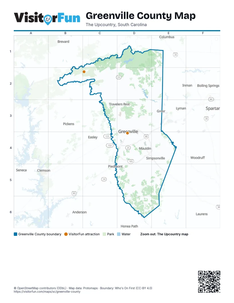
Street index of Greenville County
Each street on the sheet and the grid squares it crosses.
- Golden Strip FreewayD4, E5
- Southern ConnectorD4, E4
Things to do on the Greenville County map
Places on the map
- Acadia
- Amber Oaks Farm
- Arden Woods Estates
- Ashmore Heritage Preserve
- Ashmore Springs
- Autumn Hills
- Autumn Trace
- Bald Rock Heritage Preserve
- Barrington Park
- Baywood Place
- Beaver Brook
- Berea
- Bethany Farms
- Blue Wall Preserve
- Bonnie Woods
- Boulder Creek
- Bracken Woods
- Braemor
- Brentwood
- Bridgeport
- Bridgewater
- Brookfield West
- Brookside Farms
- Bruce Farms
- Brushy Meadows
- Butler Station
- Caesars Head State Park
- Camp Old Indian
- Camp WaBak
- Cane Brake
- Carilion
- Carolina Springs Golf Club
- Carson's Pond
- Cedar Falls Park
- Cedar Shoals
- Chanticleer Golf Course
- Chaunessy
- Chesterfield Estates
- Chestnut Ridge
Next to Greenville County
- Anderson
- Boiling Springs
- Brevard
- Clemson
- Columbus
- Easley
- Honea Path
- Inman
- Laurens
- Liberty
- Lyman
- Pickens
- Piedmont
- Seneca
- Spartanburg
- Woodruff
© OpenStreetMap contributors (ODbL) · Map data: Protomaps · Boundary: Who's On First (CC-BY 4.0)