

Texas map
Brazoria County map
About 413,224 people live here (Census Bureau, 2024 estimate). The sheet's index lists 4 streets; Nolan Ryan Expressway, Brazoria County Expressway and South Freeway cross the most grid squares. Things to do inside the boundary: Brazosport.
Open the map (PDF, US Letter)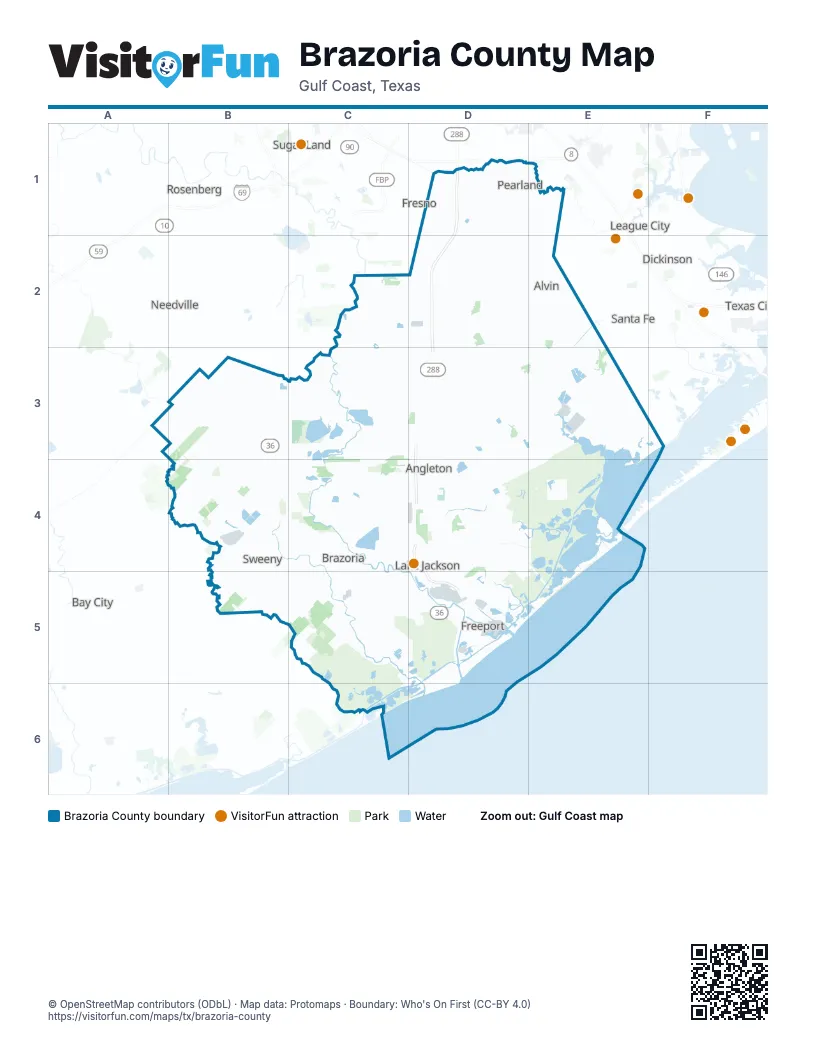
Street index of Brazoria County
Each street on the sheet and the grid squares it crosses.
- Brazoria County ExpresswayD1
- Nolan Ryan ExpresswayD1, D2, D3, D4, D5
- South FreewayD1
- State Highway 228D4
Things to do on the Brazoria County map
Places on the map
- Alligator Lake
- Alvin
- Angleton
- Bailey's Prairie
- Banbury Cross
- BASF
- Bastrop Bay
- Beal Reservoir
- Bieri Lake
- Bieri Lake Number 3
- Big Pond
- Blue Water RV Resort
- Bonney
- Brazoria
- Brazoria County
- Brazoria Lake
- Brazoria National Wildlife Refuge
- Brazoria Reservoir
- Bronco Bend Subdivision
- Brookside Village
- Bryan Cut
- Buffalo Camp Bayou Reservoir
- Calvit-Eagle Lake
- Camp Karankawa
- Canterbury Park
- Cedar Lakes
- Chubb Lake
- Clute
- Coffee Lake
- Cowtrap Lake
- Cox Lake
- Cypress Village
- Danbury
- Dixie Woods
- Dow Chemical
- Dow Chemicals Plant B
- DOW Plant A
- DSM-Firmenich
- Duck Lake
- Dunbar Park
Next to Brazoria County
- Bay City
- Dickinson
- Fresno
- Friendswood
- La Marque
- League City
- Missouri City
- Needville
- Rosenberg
- Santa Fe
- Sugar Land
- Texas City
© OpenStreetMap contributors (ODbL) · Map data: Protomaps · Boundary: Who's On First (CC-BY 4.0)