

California map
Kern County map
About 922,529 people live here (Census Bureau, 2024 estimate). Things to do inside the boundary: Bakersfield and Buena Vista Museum of Natural History & Science. Also on it: 2800 Acre Water Bank, Edwards Air Force Base and Kern National Wildlife Refuge.
Open the map (PDF, US Letter)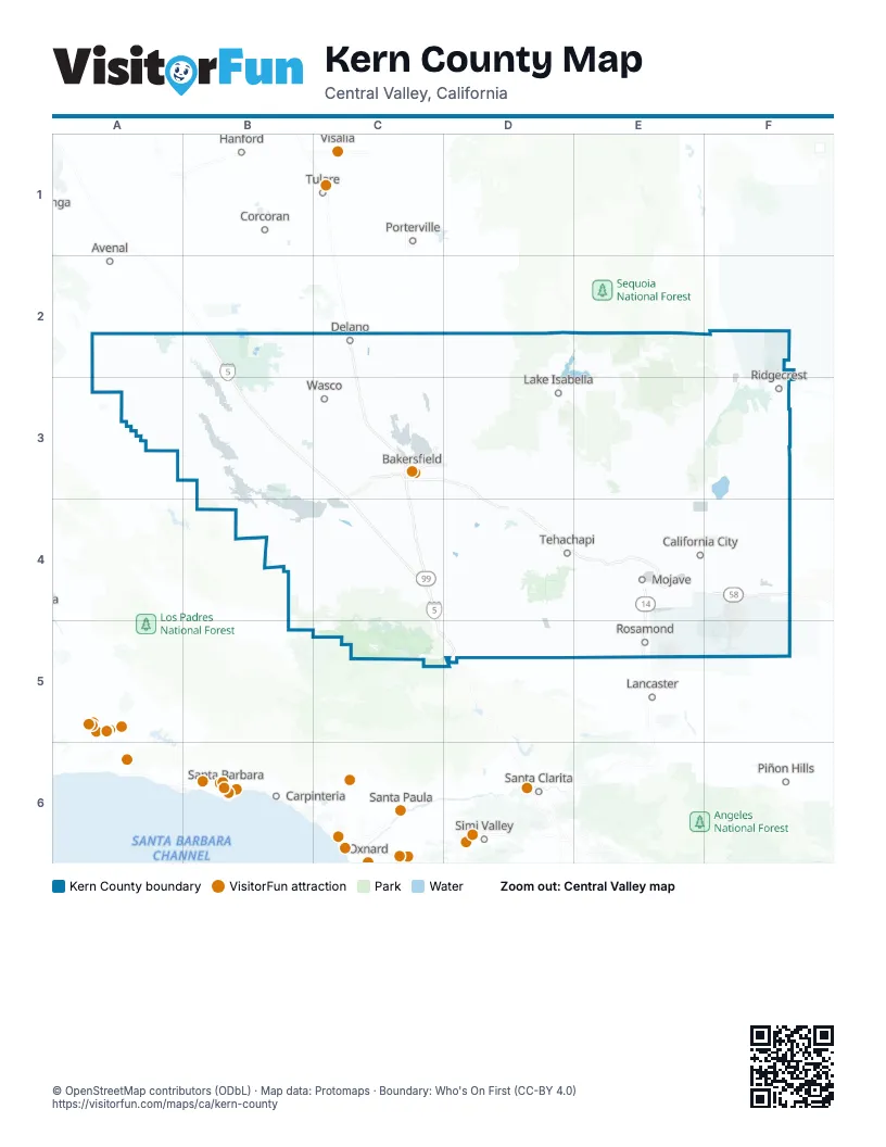
Maps inside Kern County
1 map inside, from the street map of Kern County down.
Things to do on the Kern County map
Places on the map
- 2800 Acre Water Bank
- Edwards Air Force Base
- Kern National Wildlife Refuge
- Kiavah Wilderness
- Owens Peak Wilderness
- Red Rock Canyon State Park
- Wind Wolves Preserve
Next to Kern County
- Avenal
- Carpinteria
- Corcoran
- Hanford
- Lancaster
- Ojai
- Piñon Hills
- Porterville
- Santa Barbara
- Santa Clarita map
- Santa Paula
- Simi Valley
- Tulare
- Visalia
© OpenStreetMap contributors (ODbL) · Map data: Protomaps · Boundary: Who's On First (CC-BY 4.0)