

South Carolina map
Charleston County map
About 431,001 people live here (Census Bureau, 2024 estimate). The sheet's index lists 6 streets; Mark Clark Expressway, Arthur Ravenel Jr Bridge and James Island Expressway cross the most grid squares. Things to do inside the boundary: Angel Oak, Arthur Ravenel Jr. Bridge and Boone Hall Plantation & Gardens.
Open the map (PDF, US Letter)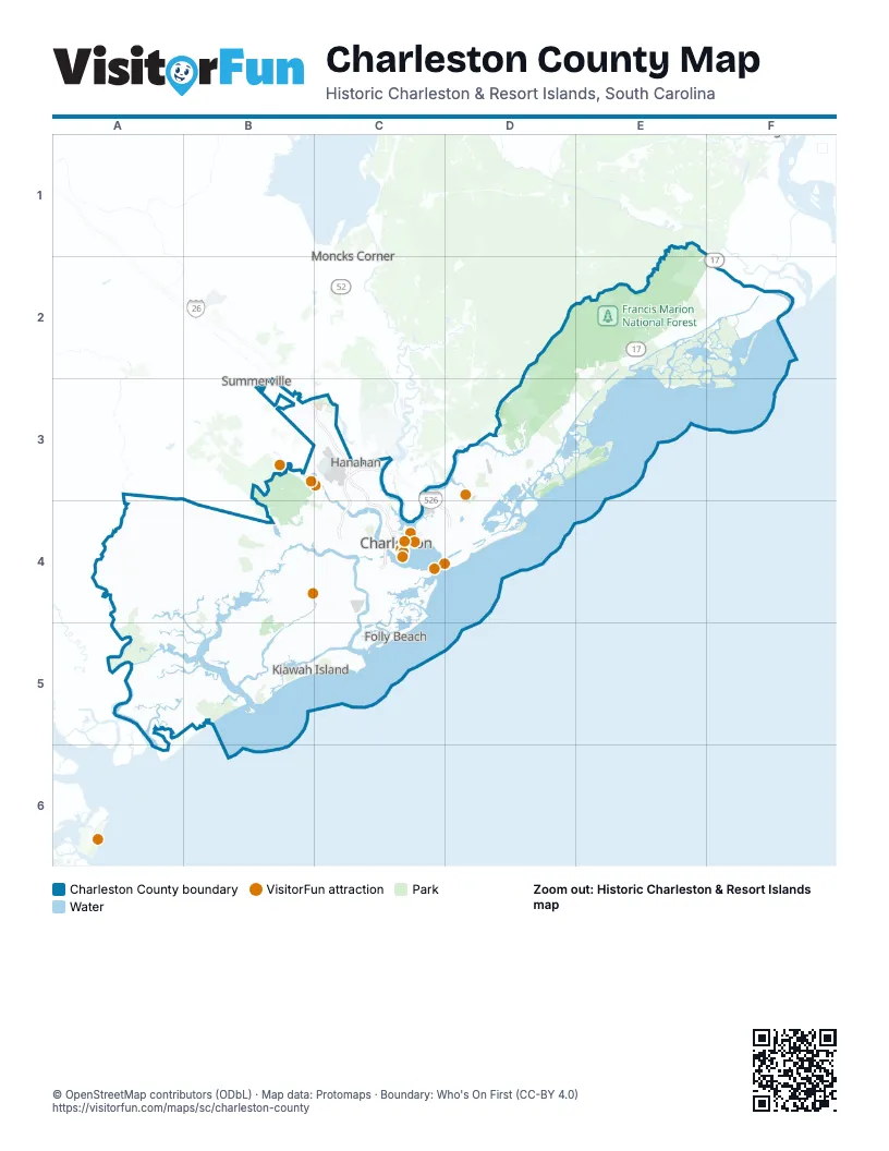
Street index of Charleston County
Each street on the sheet and the grid squares it crosses.
- Mark Clark ExpresswayC3, C4, D4
- Arthur Ravenel Jr BridgeC4
- James Island ExpresswayC4
- North Highway 17C4
- Port Access RoadC4
- Septima Clark ExpresswayC4
Things to do on the Charleston County map
Places on the map
- Accabee
- ACE Basin National Wildlife Refuge
- Awendaw
- Bear Swamp
- Bees Ferry Landfill
- Big Bay Creek
- Big Hill Marsh
- Boeing South Carolina
- Boone Hall Plantation
- Botany Bay Heritage Preserve
- Brickyard Plantation
- Bulls Bay Golf Club
- Bullyard Sound
- Cameron Terrace
- Cape Romain National Wildlife Refuge
- Capers Island
- Caw Caw Interpretive Center
- Charleston
- Charleston County
- Charleston Farms
- Charleston International Airport
- Charleston Navy Yard
- Charleston Nine Memorial Park
- Chicora Place
- Citadel Mall
- Coastal Carolina Fair
- Columbus Street Terminal
- Cooper Estates
- Copahee View
- Cougar Point Golf Course
- Country Club of Charleston
- Covington Hills
- Crab Bank Seabird Sanctuary
- Creekside Park
- CSX Bennett Yard
- Darts Pointe
- Deveaux Bank
- Drayton Hall Plantation
- Dunes West Golf Club
- East Marsh Island
Next to Charleston County
- Goose Creek
- Hanahan
- Moncks Corner
- Summerville
© OpenStreetMap contributors (ODbL) · Map data: Protomaps · Boundary: Who's On First (CC-BY 4.0)