

New York map
Dutchess County map
About 299,963 people live here (Census Bureau, 2024 estimate). The sheet's index lists Newburgh-Beacon Bridge. Things to do inside the boundary: Dia Beacon, Home of Franklin D. Roosevelt National Historic Site and Hudson Valley Wine & Food Fest.
Open the map (PDF, US Letter)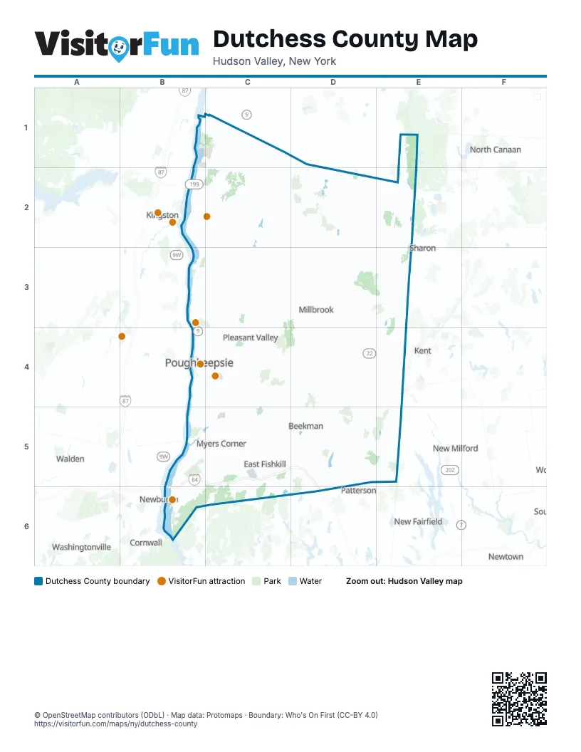
Maps inside Dutchess County
2 maps inside, from the street map of Dutchess County down.
City
Street index of Dutchess County
Each street on the sheet and the grid squares it crosses.
- Newburgh-Beacon BridgeB6
Things to do on the Dutchess County map
Places on the map
- Alamar Unit
- Amenia
- Arlington
- Bard College
- Barrytown
- Beekman Golf Course
- Bowdoin Park
- Brinckerhoff
- Casperkill Golf Club
- Chelsea Cove
- City of Beacon
- City of Poughkeepsie
- Crane Pond
- Crown Heights
- Deer Pond Farm
- Dennings Point
- Depot Hill Multiple Use Area
- Dieterich Pond
- Dinsmore Golf Course
- Dover Plains
- Dutchess County
- Dutchess County Fair
- Dutchess Golf Club
- East Fishkill Unit
- Ellis Pond
- Evangelical Center
- Fairview
- Ferncliff Forest
- Fishkill Correctional Facility
- Fishkill Creek
- Four Seasons Estates
- Freedom Park
- Freedom Plains
- Friends of Great Swamp
- Greenfly Wetland
- Harlem Valley Rail Trail
- Haviland
- Hillside Lake
- Hopewell Junction
- Hudson Heritage
Next to Dutchess County
- Cornwall
- Kent
- Kingston map
- New Fairfield
- New Milford
- Newburgh
- Newtown
- North Canaan
- Patterson
- Sharon
- Walden
- Washingtonville
© OpenStreetMap contributors (ODbL) · Map data: Protomaps · Boundary: Who's On First (CC-BY 4.0)