

California map
Fresno County map
About 1,024,125 people live here (Census Bureau, 2024 estimate). Things to do inside the boundary: Kings Canyon National Park. Also on it: Dinkey Lakes Wilderness, Giant Sequoia National Monument and John Muir Wilderness.
Open the map (PDF, US Letter)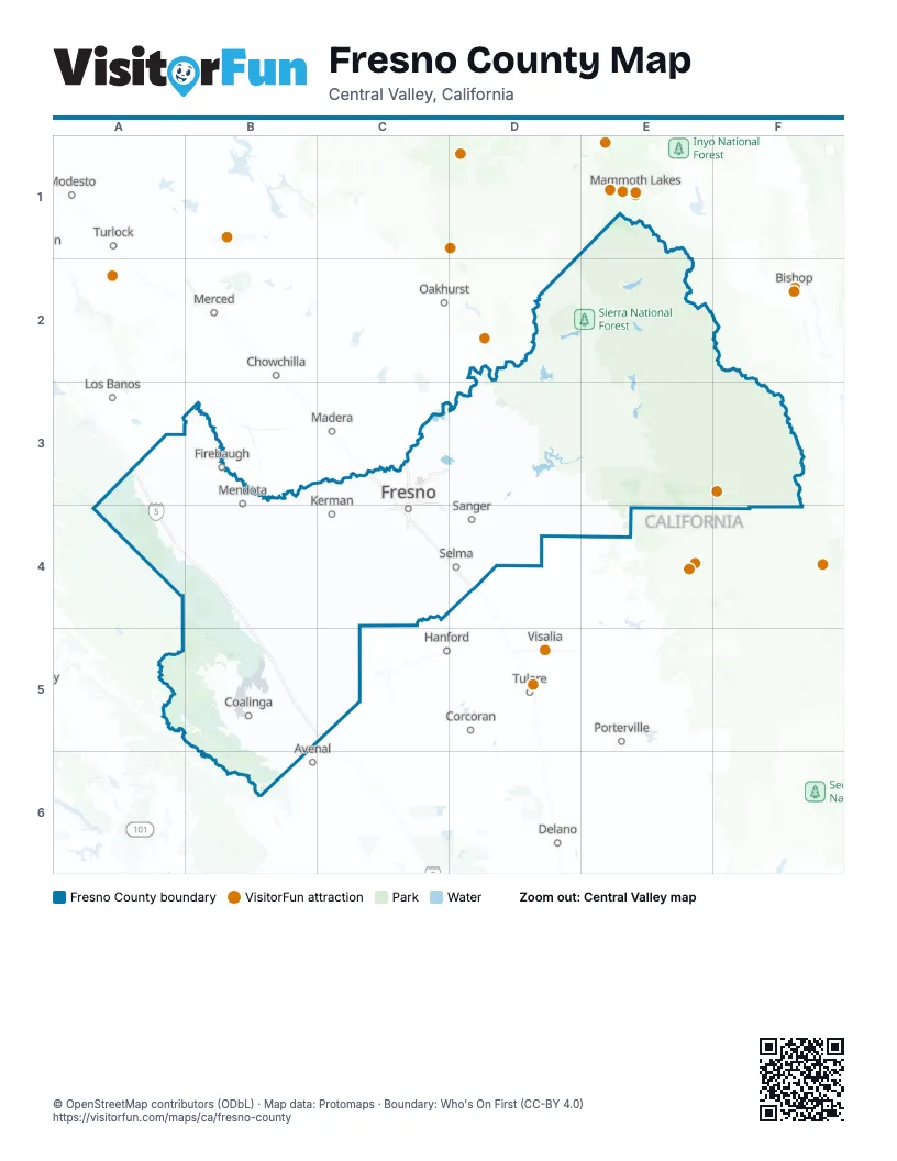
Maps inside Fresno County
1 map inside, from the street map of Fresno County down.
Things to do on the Fresno County map
Places on the map
- Dinkey Lakes Wilderness
- Giant Sequoia National Monument
- John Muir Wilderness
- Kings Canyon National Park
- Mendota Wildlife Area
- Monarch Wilderness
- Panoche/Coalinga Area of Critical Environmental Concern
- Sequoia-Kings Canyon Wilderness
- Sierra National Forest
Next to Fresno County
- Avenal
- Bishop
- Chowchilla
- Corcoran
- Delano
- Hanford
- Los Banos
- Madera
- Mammoth Lakes
- Merced
- Modesto map
- Oakhurst
- Porterville
- Riverbank
- Tulare
- Turlock
- Visalia
© OpenStreetMap contributors (ODbL) · Map data: Protomaps · Boundary: Who's On First (CC-BY 4.0)