

Colorado map
Boulder County map
About 330,262 people live here (Census Bureau, 2024 estimate). The sheet's index lists Denver–Boulder Turnpike and Northwest Parkway. Things to do inside the boundary: Celestial Seasonings Tea Tour, Chautauqua Park & the Flatirons and Longmont Museum.
Open the map (PDF, US Letter)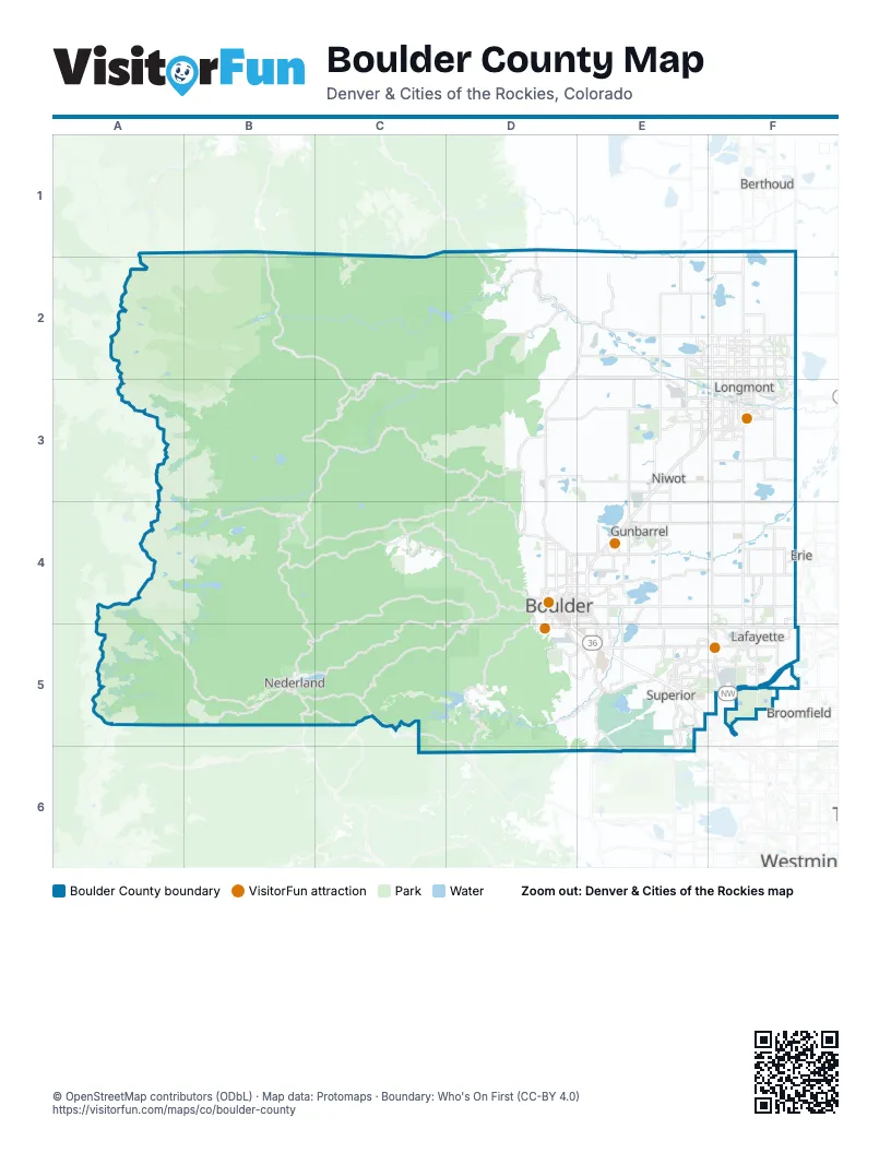
Street index of Boulder County
Each street on the sheet and the grid squares it crosses.
- Denver–Boulder TurnpikeD4, D5, E5
- Northwest ParkwayF5
Things to do on the Boulder County map
Places on the map
- Adler-Fingru Open Space
- Agricultural Preserve
- Allenspark
- Arapahoe Ridge
- Bald Mountain Scenic Area
- Barker Reservoir
- Baseline Reservoir
- Beaver Reservoir
- Benjamin Trail Loop
- Betasso Preserve
- Boulder
- Boulder Country Club
- Boulder County
- Boulder County Fairgrounds
- Boulder Junction
- Boulder Meadows
- Boulder Open Space and Mountain Parks
- Boulder Reservoir
- Boulder Tech Center
- Brian's Glades
- Buckingham Park
- Burch Lake
- Button Rock Mountain Loop
- Button Rock Preserve
- Canyon Creek
- Canyon Loop
- Caribou Ranch Open Space
- Clover Basin Reservoir
- Coal Creek Golf Course
- Coal Creek Village
- Colorado Tech Center
- Compass
- Country Fields
- Coyote Ridge Open Space
- Coyote Run Open Space
- Davidson Mesa
- Dry Creek Greenway
- Dry Creek Open Space
- Eldora
- Eldorado Canyon State Park
Next to Boulder County
- Berthoud
- Broomfield
- Erie
- Westminster
© OpenStreetMap contributors (ODbL) · Map data: Protomaps · Boundary: Who's On First (CC-BY 4.0)