

Indiana map
Indiana map
Things to do inside the boundary: Auburn Cord Duesenberg Automobile Museum, Benjamin Harrison Presidential Site and Brown County State Park. Also on it: Brookville Lake, Clark State Forest and Ferdinand State Forest. Just past the edge: Aurora, Bloomington and Bowling Green.
Open the map (PDF, US Letter)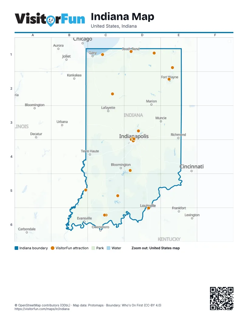
Maps inside Indiana
5 maps inside, from the street map of Indiana down.
City
Things to do on the Indiana map
- Auburn Cord Duesenberg Automobile Museum
- Benjamin Harrison Presidential Site
- Brown County State Park
- Conner Prairie
- Eiteljorg Museum
- Fort Wayne Zoo
- French Lick Springs Hotel
- Gainbridge Fieldhouse
- George Rogers Clark National Historical Park
- Holiday World & Splashin Safari
- Indiana Beach
- Indiana Dunes National Park
- Indiana State Museum
- Indiana War Memorial
- Indianapolis Motor Speedway
- Indianapolis Zoo
- Lincoln Boyhood National Memorial
- Newfields
- Notre Dame Stadium
- Shipshewana Auction
- Southern Indiana (SoIN)
- The Children's Museum of Indianapolis
- University of Notre Dame
Places on the map
- Brookville Lake
- Clark State Forest
- Ferdinand State Forest
- Harrison-Crawford State Forest
- Hoosier National Forest
- Indiana Dunes National Park
- Morgan-Monroe State Forest
- Muscatatuck National Wildlife Refuge
- Naval Support Activity Crane
- Yellowwood State Forest
Next to Indiana
- Aurora
- Bloomington
- Bowling Green
- Carbondale
- Chicago
- Cincinnati
- Dayton
- Decatur
- Frankfort
- Joliet
- Kankakee
- Lexington
- Lima
- Louisville
- Owensboro
- Springfield
- Toledo
- Urbana
© OpenStreetMap contributors (ODbL) · Map data: Protomaps · Boundary: Who's On First (CC-BY 4.0)